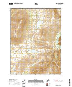
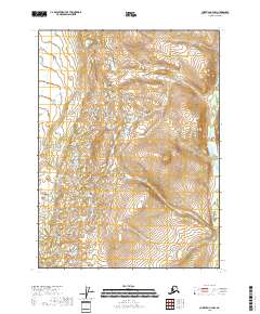
2018 Map of Christian C-4 SW
USGS Topo · Published 2018About this map
Brown Grass Lake and Bob Lake dominate the interior of this high-latitude Alaskan terrain, providing a look at the hydrography of the Yukon-Koyukuk region. The landscape is defined by the winding course of the Christian River as it cuts through the eastern portion of the sheet, while Kotacho Cr drains the southwestern quadrant. This 2018 survey illustrates the complex drainage patterns and elevation contours typical of the interior wilderness, where named water bodies serve as the primary landmarks for navigation and land management. The map also delineates the boundaries of the Public Land Survey System, including sections of t32n r8e, t32n r9e, and t31n r8e, which provide the structural framework for this remote territory.
Find a feature on this map
8 named features on this map. Tap any name to fly to it.
Don’t see what you’re looking for? This feature index may not catch every label — zoom into the map to look around manually.
Map Details
Editions of this 2018 Christian C-4 SW Map
This is the sole edition of this map. No revisions or reprints were ever made.
Other maps of this area

1951 · Christian
USGS Topo · 1:250,000

1956 · Christian
USGS Topo · 1:250,000
1990 · Christian C-4
USGS Topo · 1:63,360
1990 · Christian C-5
USGS Topo · 1:63,360
1990 · Christian B-4
USGS Topo · 1:63,360
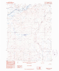
1990 · Christian B-5
USGS Topo · 1:63,360
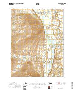
2018 · Christian C-5 NE
USGS Topo · 1:25,000
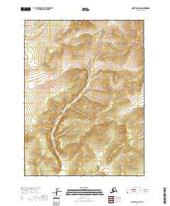
2018 · Christian B-4 NW
USGS Topo · 1:25,000
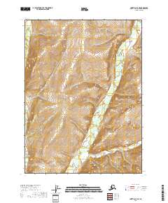
2018 · Christian C-4 NE
USGS Topo · 1:25,000
2018 · Christian C-4 NW
USGS Topo · 1:25,000