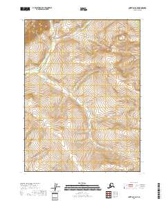
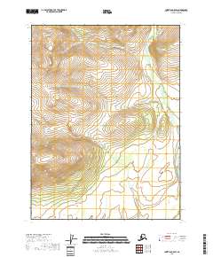
2018 Map of Christian C-6 NE
USGS Topo · Published 2018About this map
High-elevation terrain defines this uninhabited portion of the Yukon-Koyukuk Census Area, as documented in this 2018 survey. The landscape is characterized by a series of prominent ridges and drainages that partition the land according to the Public Land Survey System, including T34n R5e and T33n R5e. The topographic detail shows a complex network of seasonal watercourses and steep contour gradients, illustrating a wild subarctic environment where modern development, such as roads or structures, remains entirely absent.
Find a feature on this map
9 named features on this map. Tap any name to fly to it.
Don’t see what you’re looking for? This feature index may not catch every label — zoom into the map to look around manually.
Map Details
Editions of this 2018 Christian C-6 NE Map
This is the sole edition of this map. No revisions or reprints were ever made.
Other maps of this area

1951 · Christian
USGS Topo · 1:250,000

1956 · Christian
USGS Topo · 1:250,000
1990 · Christian C-6
USGS Topo · 1:63,360
1990 · Christian C-5
USGS Topo · 1:63,360
1990 · Christian D-5
USGS Topo · 1:63,360
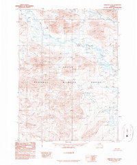
1990 · Christian D-6
USGS Topo · 1:63,360
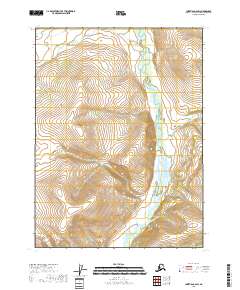
2018 · Christian C-6 SW
USGS Topo · 1:25,000
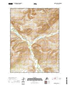
2018 · Christian C-6 NW
USGS Topo · 1:25,000
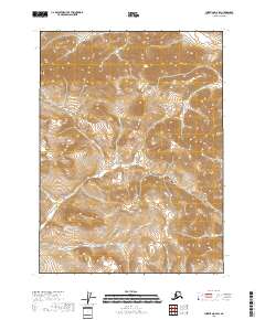
2018 · Christian D-6 SW
USGS Topo · 1:25,000
2018 · Christian C-5 SW
USGS Topo · 1:25,000