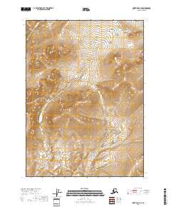
2018 Map of Christian D-4 NE
USGS Topo · Published 2018About this map
High-altitude interior Alaskan wilderness dominates this 2018 topographic study within the Yukon-Koyukuk Census Area. The landscape is defined by the Public Land Survey System grid, which divides the vast, roadless terrain into townships such as T37n R9e and T36n R10e. The map reveals a complex network of seasonal drainages and high ridgelines, where elevation contours reach upwards of 3,450 feet in the northeastern sections. This map is notably sparse in named geographic landmarks or human settlements, focusing instead on the exacting geometry of the T35n R9e and T35n R10e boundaries across an undeveloped mountain environment. It provides a precise record of the natural topography and surveying benchmarks in a region where few permanent structures exist.
Find a feature on this map
7 named features on this map. Tap any name to fly to it.
Don’t see what you’re looking for? This feature index may not catch every label — zoom into the map to look around manually.
Map Details
Editions of this 2018 Christian D-4 NE Map
This is the sole edition of this map. No revisions or reprints were ever made.
Other maps of this area

1951 · Christian
USGS Topo · 1:250,000

1951 · Arctic
USGS Topo · 1:250,000

1956 · Arctic
USGS Topo · 1:250,000

1956 · Christian
USGS Topo · 1:250,000

1972 · Arctic A-3
USGS Topo · 1:63,360
1972 · Christian D-3
USGS Topo · 1:63,360
1990 · Christian D-4
USGS Topo · 1:63,360
2018 · Arctic A-3 SE
USGS Topo · 1:25,000
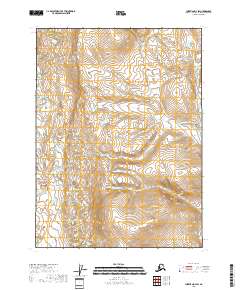
2018 · Christian D-4 SW
USGS Topo · 1:25,000
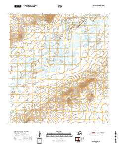
2018 · Arctic A-3 SW
USGS Topo · 1:25,000