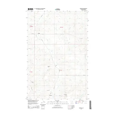
2014 Map of Christina
USGS Topo · Published 2014About this map
Christina and Suffolk serve as the primary anchors for this rural Fergus County landscape, where the grain-growing plains meet the complex drainages of central Montana. The terrain is defined by deep incisions like Freeze Out Coulee and Murphy Coulee, which channel runoff toward the meandering path of Dog Cr. This 2014 representation shows a road network adapted to the undulating topography, with routes like the Winifred Hwy and the aptly named Washboard Rd connecting scattered homesteads. Near the southern edge, Sheepherder Peak stands as a prominent high point, overlooking the headwaters of the S Fork Cottonwood Cr. The map captures the persistent agrarian character of the region, illustrating how section lines and drainage patterns continue to dictate the layout of modern Montana life.
Find a feature on this map
24 named features on this map. Tap any name to fly to it.
Don’t see what you’re looking for? This feature index may not catch every label — zoom into the map to look around manually.
Map Details
Editions of this 2014 Christina Map
This is the sole edition of this map. No revisions or reprints were ever made.
Other maps of this area
1954 · Lewistown
USGS Topo · 1:250,000
1959 · Lewistown
USGS Topo · 1:250,000
1978 · Lewistown
USGS Topo · 1:100,000
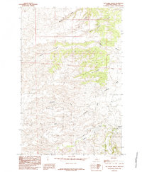
1985 · The Horse Ranch
USGS Topo · 1:24,000
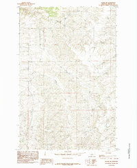
1985 · Hilger NW
USGS Topo · 1:24,000
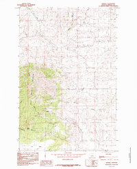
1985 · Kendall
USGS Topo · 1:24,000
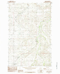
1985 · Hilger
USGS Topo · 1:24,000
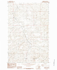
1985 · Christina
USGS Topo · 1:24,000
1985 · Armells
USGS Topo · 1:24,000
1985 · Gerhard Corner
USGS Topo · 1:24,000