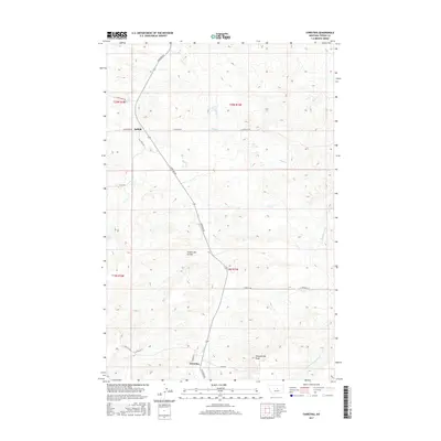
2017 Map of Christina
USGS Topo · Published 2017About this map
Christina and Suffolk serve as the primary human touchpoints in this section of Fergus County, where the landscape is defined by the intricate drainage systems of the Central Montana plains. The terrain is marked by significant topographical shifts, most notably at Sheepherder Peak and the aptly named Freeze Out Coulee. These features rise above a network of seasonal and perennial waterways including Dog Cr and Alkali Cr, which have carved deep patterns into the earth over generations.
Find a feature on this map
24 named features on this map. Tap any name to fly to it.
Don’t see what you’re looking for? This feature index may not catch every label — zoom into the map to look around manually.
Map Details
Editions of this 2017 Christina Map
This is the sole edition of this map. No revisions or reprints were ever made.
Other maps of this area
1954 · Lewistown
USGS Topo · 1:250,000
1959 · Lewistown
USGS Topo · 1:250,000
1978 · Lewistown
USGS Topo · 1:100,000
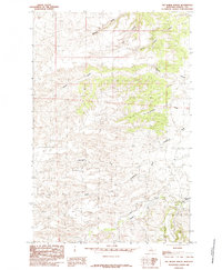
1985 · The Horse Ranch
USGS Topo · 1:24,000
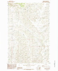
1985 · Hilger NW
USGS Topo · 1:24,000
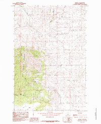
1985 · Kendall
USGS Topo · 1:24,000
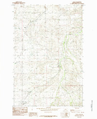
1985 · Hilger
USGS Topo · 1:24,000
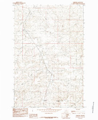
1985 · Christina
USGS Topo · 1:24,000
1985 · Armells
USGS Topo · 1:24,000
1985 · Gerhard Corner
USGS Topo · 1:24,000