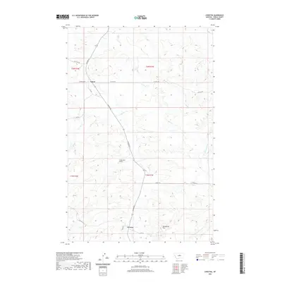
2020 Map of Christina
USGS Topo · Published 2020About this map
Christina and Suffolk are the primary points of settlement in this central Montana landscape, connected by the long transit of Winifred Rd. The terrain is defined by a network of seasonal watercourses and drainage features, including Dog Cr and Alkali Cr, which cut through the high plains toward the S Fork Cottonwood Cr. Topographical landmarks like Sheepherder Peak and Freeze Out Coulee provide clear orientation points within Fergus County’s ranching country.
Find a feature on this map
24 named features on this map. Tap any name to fly to it.
Don’t see what you’re looking for? This feature index may not catch every label — zoom into the map to look around manually.
Map Details
Editions of this 2020 Christina Map
This is the sole edition of this map. No revisions or reprints were ever made.
Other maps of this area
1954 · Lewistown
USGS Topo · 1:250,000
1959 · Lewistown
USGS Topo · 1:250,000
1978 · Lewistown
USGS Topo · 1:100,000
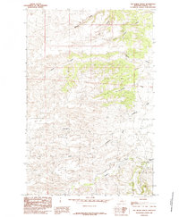
1985 · The Horse Ranch
USGS Topo · 1:24,000
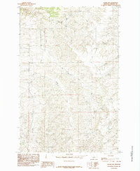
1985 · Hilger NW
USGS Topo · 1:24,000
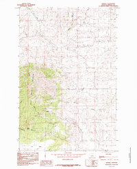
1985 · Kendall
USGS Topo · 1:24,000
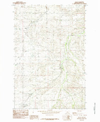
1985 · Hilger
USGS Topo · 1:24,000
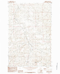
1985 · Christina
USGS Topo · 1:24,000
1985 · Armells
USGS Topo · 1:24,000
1985 · Gerhard Corner
USGS Topo · 1:24,000