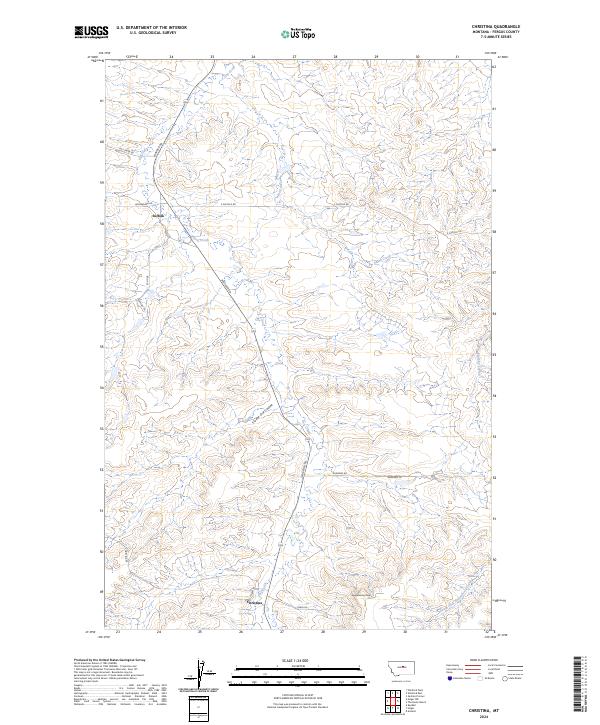
2024 Map of Christina
USGS Topo · Published 2024About this map
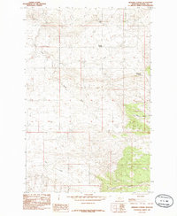
Christina and Suffolk serve as the primary hubs in this Fergus County landscape, where the agricultural grid meets the drainage systems of the Central Montana plains. The terrain is defined by dramatic elevation shifts, anchored by Sheepherder Peak in the southern portion of the quadrangle. A network of coulees and creeks, including Freeze Out Coulee, Murphy Coulee, and Dog Creek, carves through the high ground, illustrating the complex natural irrigation and erosion patterns that dictate land use in this region.
Find a feature on this map
23 named features on this map. Tap any name to fly to it.
Don’t see what you’re looking for? This feature index may not catch every label — zoom into the map to look around manually.
Map Details
Editions of this 2024 Christina Map
This is the sole edition of this map. No revisions or reprints were ever made.
Other maps of this area

1954 · Lewistown
USGS Topo · 1:250,000

1959 · Lewistown
USGS Topo · 1:250,000

1978 · Lewistown
USGS Topo · 1:100,000

1985 · The Horse Ranch
USGS Topo · 1:24,000
1985 · Hilger NW
USGS Topo · 1:24,000
1985 · Kendall
USGS Topo · 1:24,000

1985 · Hilger
USGS Topo · 1:24,000
1985 · Christina
USGS Topo · 1:24,000

1985 · Armells
USGS Topo · 1:24,000
1985 · Gerhard Corner
USGS Topo · 1:24,000