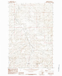
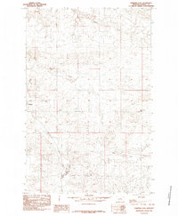
1985 Map of Christina
USGS Topo · Published 1985About this map
Dog Creek and its many tributaries carve a complex drainage pattern through this Fergus County landscape, defining the rural character of the region in the late 20th century. The settlement of Christina sits at the base of the prominent Sheepherder Peak, while further north, the community of Suffolk marks a key point along the Chicago Milwaukee St Paul and Pacific railroad line. The rail corridor follows the natural contours of the land, navigating between the high points of Erie and Wallin. This survey documents a landscape of intermittent watercourses like Alkali Creek and Murphy Coulee, illustrating the importance of reliable water sources and rail access for these central Montana ranching and farming outposts. The topographic detail reveals the intricate coulees and breaks that characterize the area's geography north of the Judith Mountains.
Find a feature on this map
12 named features on this map. Tap any name to fly to it.
Don’t see what you’re looking for? This feature index may not catch every label — zoom into the map to look around manually.
Map Details
Editions of this 1985 Christina Map
This is the sole edition of this map. No revisions or reprints were ever made.
Other maps of this area

1954 · Lewistown
USGS Topo · 1:250,000

1959 · Lewistown
USGS Topo · 1:250,000

1978 · Lewistown
USGS Topo · 1:100,000

1985 · The Horse Ranch
USGS Topo · 1:24,000
1985 · Hilger NW
USGS Topo · 1:24,000
1985 · Kendall
USGS Topo · 1:24,000

1985 · Hilger
USGS Topo · 1:24,000

1985 · Armells
USGS Topo · 1:24,000
1985 · Gerhard Corner
USGS Topo · 1:24,000
1985 · Winifred East
USGS Topo · 1:24,000