Loading...
Loading map...2024 Map of Christine
USGS Topo · Published 2024About this map
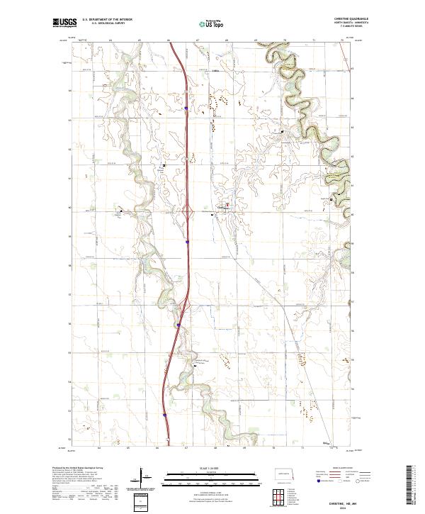
Christine and the fertile plains of the Red River Valley define this modern landscape along the border of North Dakota and Minnesota. The serpentine course of the Red River of the North forms the eastern boundary, where the river's tight meanders contrast with the rigid grid of rural roads like Co RD 81 and 174th Ave SE. The smaller Wild Rice River cuts through the western half of the quadrangle, passing near small settlements and established agrarian sites.
Find a feature on this map
39 named features on this map. Tap any name to fly to it.
Don’t see what you’re looking for? This feature index may not catch every label — zoom into the map to look around manually.
Map Details
Date Portrayed2024
Date Published2024
PublisherU.S. Geological Survey
Map TypeTopographic
Scale1:24000
Physical Dimensions24 x 29 inches
Editions of this 2024 Christine Map
This is the sole edition of this map. No revisions or reprints were ever made.
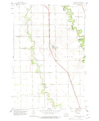
Historical Maps of Eagle Township Through Time
Featured Locations
Source Details
SourceU.S. Geological Survey
CopyrightPublic Domain