
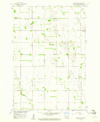
1959 Map of Mooreton NW
USGS Topo · Published 1960About this map
Antelope Creek meanders through this portion of Richland County, defining a landscape of agriculture and dispersed rural settlements in the late 1950s. The map illustrates a strictly organized township system across Colfax, Nansen, and Abercrombie, where the density of rural schools—such as School No 1 through School No 4 and Ista Sch—points to a thriving agrarian population before the consolidation of rural districts.
Find a feature on this map
14 named features on this map. Tap any name to fly to it.
Don’t see what you’re looking for? This feature index may not catch every label — zoom into the map to look around manually.
Map Details
Editions of this 1959 Mooreton NW Map
2 editions found
Other maps of this area

1895 · Fargo
USGS Topo · 1:125,000

1895 · Casselton
USGS Topo · 1:125,000

1897 · Fargo
USGS Topo · 1:125,000

1897 · Casselton
USGS Topo · 1:125,000

1904 · Wahpeton
USGS Topo · 1:125,000

1907 · Wyndmere
USGS Topo · 1:125,000

1953 · Fargo
USGS Topo · 1:250,000

1956 · Fargo
USGS Topo · 1:250,000

1959 · Wyndmere NE
USGS Topo · 1:24,000
1959 · Walcott
USGS Topo · 1:24,000