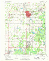
1968 Map of Christopher
USGS Topo · Published 1969About this map
The southern Illinois coal belt near Christopher and Zeigler is defined by its industrial roots and rail infrastructure in the late 1960s. The landscape is a network of water management and extraction history, where several Mine Dumps and Sewage Disposal Ponds sit alongside necessary municipal resources like the Filtration Plant and the Miners Hospital in Christopher. Regional transportation is anchored by the Illinois Central Railroad and the Chicago Burlington and Quincy Railroad, which move through the townships of Tyrone and Browning.
Find a feature on this map
71 named features on this map. Tap any name to fly to it.
Don’t see what you’re looking for? This feature index may not catch every label — zoom into the map to look around manually.
Map Details
Editions of this 1968 Christopher Map
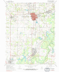
2 editions found
Other maps of this area
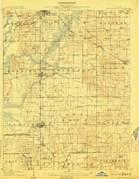
1909 · West Frankfort
USGS Topo · 1:62,500
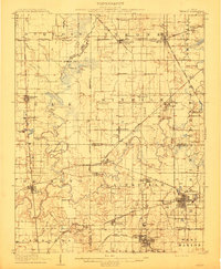
1910 · Herrin
USGS Topo · 1:62,500
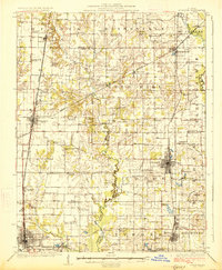
1926 · Duquoin
USGS Topo · 1:62,500
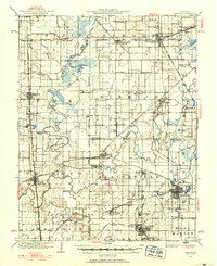
1936 · Herrin
USGS Topo · 1:62,500
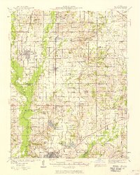
1939 · Ina
USGS Topo · 1:62,500
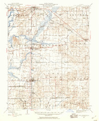
1941 · West Frankfort
USGS Topo · 1:62,500
1943 · Ina
USGS Topo · 1:62,500

1949 · Paducah
USGS Topo · 1:250,000

1950 · Paducah
USGS Topo · 1:250,000
1954 · Paducah
USGS Topo · 1:250,000