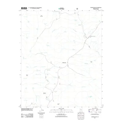
2011 Map of Chrome Butte
USGS Topo · Published 2011About this map
McMillianville and isolated ranching outposts define this high-desert landscape in central Arizona. The area is characterized by a network of drainage systems like Sevenmile Wash and Corral Creek that cut through prominent geological formations, including Steer Mountain, Apache Peaks, and the namesake Chrome Butte. Water, the region's most vital resource, is meticulously mapped through dozens of named sources such as Oakie Spring, Indian Garden Spring, and Yankee Joe Spring.
Find a feature on this map
50 named features on this map. Tap any name to fly to it.
Don’t see what you’re looking for? This feature index may not catch every label — zoom into the map to look around manually.
Map Details
Editions of this 2011 Chrome Butte Map
This is the sole edition of this map. No revisions or reprints were ever made.
Other maps of this area

1901 · Globe
USGS Topo · 1:62,500

1902 · Globe
USGS Topo · 1:62,500

1922 · Chrysotile
USGS Topo · 1:125,000

1945 · Globe
USGS Topo · 1:24,000

1949 · Rockinstraw Mtn
USGS Topo · 1:62,500

1950 · Rockinstraw Mtn
USGS Topo · 1:62,500

1954 · Mesa
USGS Topo · 1:250,000

1957 · Mesa
USGS Topo · 1:250,000

1958 · Mesa
USGS Topo · 1:250,000

1960 · Mesa
USGS Topo · 1:250,000