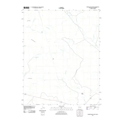
2010 Map of Chromo Mountain
USGS Topo · Published 2010About this map
Chromo Mountain anchors this high-elevation landscape along the New Mexico-Colorado border, where a complex network of waterways defines the terrain. The watershed is characterized by numerous small alpine bodies of water, including Beaver Lake, Boyer Lake, and Las Ranas Lake, which feed into a system of creeks such as Los Cuatas Creek and Estufa Creek. The high ridges of Stove Ridge and deep carvings of Tuck Canyon illustrate the drainage patterns of Rio Chamita and its tributaries.
Find a feature on this map
16 named features on this map. Tap any name to fly to it.
Don’t see what you’re looking for? This feature index may not catch every label — zoom into the map to look around manually.
Map Details
Editions of this 2010 Chromo Mountain Map
This is the sole edition of this map. No revisions or reprints were ever made.
Other maps of this area

1913 · Summitville
USGS Topo · 1:125,000

1915 · Summitville
USGS Topo · 1:125,000

1945 · Durango
USGS Topo · 1:250,000

1953 · Durango
USGS Topo · 1:250,000

1954 · Durango
USGS Topo · 1:250,000

1954 · Aztec
USGS Topo · 1:250,000

1955 · Chama
USGS Topo · 1:62,500

1955 · Lumberton
USGS Topo · 1:62,500

1957 · Chromo
USGS Topo · 1:62,500

1957 · Chama Peak
USGS Topo · 1:62,500