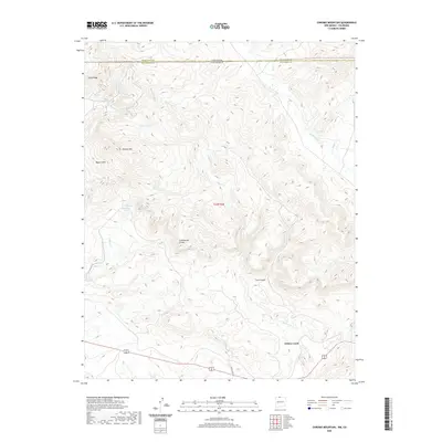
2020 Map of Chromo Mountain
USGS Topo · Published 2020About this map
The Continental Divide defines the spine of this territory along the border of Archuleta and Rio Arriba counties, where high-altitude drainage systems flow toward both the Atlantic and Pacific oceans. The northern edge of the map follows the Colorado and New Mexico state line, marking a boundary through the San Juan Mountains. Water is the defining characteristic of this landscape, from the headwaters of Rio Chamita and Nabor Cr to the alpine pockets of Beaver Lake and Las Ranas Lake.
Find a feature on this map
23 named features on this map. Tap any name to fly to it.
Don’t see what you’re looking for? This feature index may not catch every label — zoom into the map to look around manually.
Map Details
Editions of this 2020 Chromo Mountain Map
This is the sole edition of this map. No revisions or reprints were ever made.
Other maps of this area

1913 · Summitville
USGS Topo · 1:125,000

1915 · Summitville
USGS Topo · 1:125,000

1945 · Durango
USGS Topo · 1:250,000

1953 · Durango
USGS Topo · 1:250,000

1954 · Durango
USGS Topo · 1:250,000

1954 · Aztec
USGS Topo · 1:250,000

1955 · Chama
USGS Topo · 1:62,500

1955 · Lumberton
USGS Topo · 1:62,500

1957 · Chromo
USGS Topo · 1:62,500

1957 · Chama Peak
USGS Topo · 1:62,500