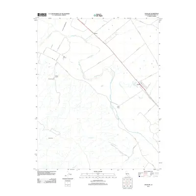
2012 Map of Chualar
USGS Topo · Published 2012About this map
The Salinas River meanders through a landscape defined by intensive agriculture and rising coastal peaks in this contemporary survey of Monterey County. The small community of Chualar sits at a transportation nexus where Chualar Rd meets the rail and highway corridor, while the settlement of Spence occupies the northern reach of the fertile valley floor. To the west, the terrain shifts abruptly as the foothills of Mount Toro rise, carved by a series of deep drainages including Pine Canyon, Fletcher Canyon, and Parker Canyon. This map captures the modern agricultural layout of the Salinas Valley, showing how modern irrigation and land use follow the ancient paths of watercourses like Quail Cr and Chualar Cr as they flow toward the main river channel.
Find a feature on this map
30 named features on this map. Tap any name to fly to it.
Don’t see what you’re looking for? This feature index may not catch every label — zoom into the map to look around manually.
Map Details
Editions of this 2012 Chualar Map
This is the sole edition of this map. No revisions or reprints were ever made.
Other maps of this area

1910 · Gonzales
USGS Topo · 1:31,680

1910 · Salinas
USGS Topo · 1:31,680

1910 · Soledad
USGS Topo · 1:31,680

1912 · Salinas
USGS Topo · 1:62,500

1915 · Soledad
USGS Topo · 1:62,500

1920 · Jamesburg
USGS Topo · 1:48,000

1921 · Jamesburg
USGS Topo · 1:62,500

1921 · Gonzales
USGS Topo · 1:62,500

1939 · Jamesburg
USGS Topo · 1:62,500

1940 · Salinas
USGS Topo · 1:62,500