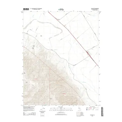
2015 Map of Chualar
USGS Topo · Published 2015About this map
The Salinas River serves as the central geographic divider in this Monterey County landscape, separating the fertile lowlands from the steep elevations of the Sierra de Salinas. To the west, the terrain rises sharply toward Mt Toro, cut by deep drainages such as Kalte Canyon and Calera Canyon. These upland areas contrast with the broad agricultural valley floor where the settlements of Chualar and Spence are situated. The map illustrates a complex network of water features, including the Alisal Slough and multiple tributaries like Limekiln Cr and Chualar Cr that flow toward the main river channel.
Find a feature on this map
34 named features on this map. Tap any name to fly to it.
Don’t see what you’re looking for? This feature index may not catch every label — zoom into the map to look around manually.
Map Details
Editions of this 2015 Chualar Map
This is the sole edition of this map. No revisions or reprints were ever made.
Other maps of this area

1910 · Gonzales
USGS Topo · 1:31,680

1910 · Salinas
USGS Topo · 1:31,680

1910 · Soledad
USGS Topo · 1:31,680

1912 · Salinas
USGS Topo · 1:62,500

1915 · Soledad
USGS Topo · 1:62,500

1920 · Jamesburg
USGS Topo · 1:48,000

1921 · Jamesburg
USGS Topo · 1:62,500

1921 · Gonzales
USGS Topo · 1:62,500

1939 · Jamesburg
USGS Topo · 1:62,500

1940 · Salinas
USGS Topo · 1:62,500