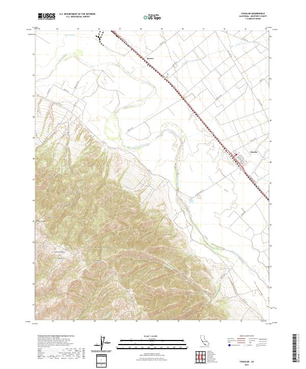
2021 Map of Chualar
USGS Topo · Published 2021About this map
The Salinas River carves a distinctive path through this portion of Monterey County, separating the agricultural lowlands from the rising elevations of the Sierra de Salinas. Near the valley floor, the settlement of Chualar sits along the historic El Camino Real S, serving as a focal point for the surrounding farm and ranch land. This corridor demonstrates the long-standing importance of transportation and irrigation in the Salinas Valley, with Alisal Slough and Quail Cr feeding into the primary river system. To the west, the terrain shifts abruptly into steep canyons like Pine Canyon and Calera Canyon, climbing toward the summit of Mt Toro. These transitions from riparian corridors to high ridges define the local landscape, where road networks like Old Stage Rd follow the contours of the foothills, providing access to more remote ranching areas such as those near Spence.
Find a feature on this map
42 named features on this map. Tap any name to fly to it.
Don’t see what you’re looking for? This feature index may not catch every label — zoom into the map to look around manually.
Map Details
Editions of this 2021 Chualar Map
This is the sole edition of this map. No revisions or reprints were ever made.
Other maps of this area

1910 · Gonzales
USGS Topo · 1:31,680

1910 · Salinas
USGS Topo · 1:31,680

1910 · Soledad
USGS Topo · 1:31,680

1912 · Salinas
USGS Topo · 1:62,500

1915 · Soledad
USGS Topo · 1:62,500

1920 · Jamesburg
USGS Topo · 1:48,000

1921 · Jamesburg
USGS Topo · 1:62,500

1921 · Gonzales
USGS Topo · 1:62,500

1939 · Jamesburg
USGS Topo · 1:62,500

1940 · Salinas
USGS Topo · 1:62,500