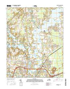
2016 Map of Chuckatuck
USGS Topo · Published 2016About this map
Chuckatuck Creek and its many winding tributaries define the landscape of this coastal Virginia region, where the City of Suffolk meets the border of Isle of Wight Co. The map reveals a complex network of points and coves along the Nansemond River, including Sleepy Hole Point and Glebe Point. Inland, the terrain is shaped by significant water management features like the Western Br Reservoir and Godwins Millpond, while the southeastern corner touches the edges of the Great Dismal Swamp.
Find a feature on this map
161 named features on this map. Tap any name to fly to it.
Don’t see what you’re looking for? This feature index may not catch every label — zoom into the map to look around manually.
Map Details
Editions of this 2016 Chuckatuck Map
This is the sole edition of this map. No revisions or reprints were ever made.
Other maps of this area
1907 · Norfolk
USGS Topo · 1:125,000
1919 · Smithfield
USGS Topo · 1:62,500
1919 · Suffolk
USGS Topo · 1:62,500
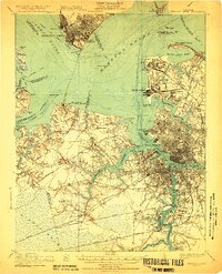
1921 · Newport News
USGS Topo · 1:62,500
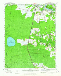
1940 · Lake Drummond
USGS Topo · 1:62,500
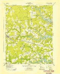
1944 · Windsor
USGS Topo · 1:31,680
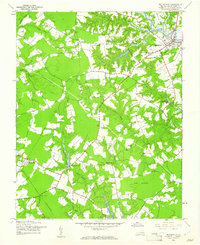
1944 · Smithfield
USGS Topo · 1:24,000
1945 · Lake Drummond
USGS Topo · 1:62,500
1945 · Smithfield
USGS Topo · 1:31,680
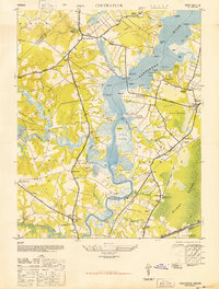
1949 · Chuckatuck
USGS Topo · 1:24,000