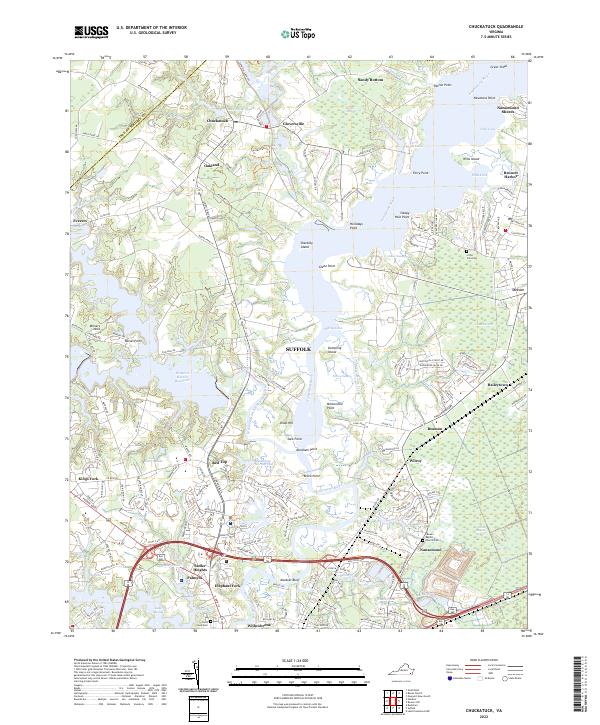
2022 Map of Chuckatuck
USGS Topo · Published 2022About this map
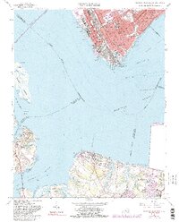
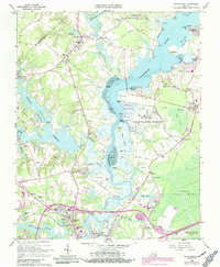
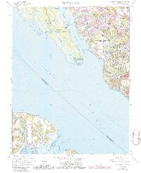
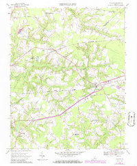
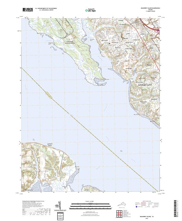
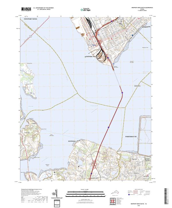
The Nansemond River and its complex network of tidal creeks and marshes dominate this 2022 survey, showcasing the water-rich landscape where Suffolk and Isle of Wight County meet. Numerous points and islands, such as Shackley Island, Mintonville Point, and Muskrat Bluff, define the river's winding course toward the Great Dismal Swamp in the southeast. This area is characterized by its transition from historic crossroads like Chuckatuck and Driver to significant modern water infrastructure, including the Western Branch Reservoir and Godwins Millpond.
Find a feature on this map
76 named features on this map. Tap any name to fly to it.
Don’t see what you’re looking for? This feature index may not catch every label — zoom into the map to look around manually.
Map Details
Editions of this 2022 Chuckatuck Map
This is the sole edition of this map. No revisions or reprints were ever made.
Historical Maps of Bennett Harbor Through Time
29 maps found
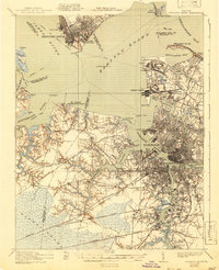
1921 Newport News
Isle of Wight County, VA

1944 Raynor
Isle of Wight County, VA

1944 Zuni
Isle of Wight County, VA

1945 Raynor
Isle of Wight County, VA

1945 Zuni
Isle of Wight County, VA

1948 Bacons Castle
Isle of Wight County, VA

1949 Chuckatuck
Isle of Wight County, VA

1950 Blackstone
Isle of Wight County, VA

1950 Mulberry Island
Isle of Wight County, VA

1951 Blackstone
Isle of Wight County, VA

1952 Newport News
Isle of Wight County, VA

1955 Newport News
Isle of Wight County, VA
1957 Bacons Castle
Isle of Wight County, VA
1957 Mulberry Island
Isle of Wight County, VA
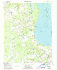
1964 Newport News South
Isle of Wight County, VA
1965 Chuckatuck
Isle of Wight County, VA
1965 Mulberry Island
Isle of Wight County, VA
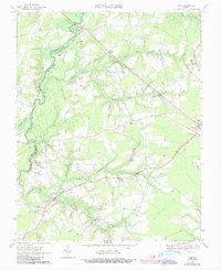
1967 Holland
Isle of Wight County, VA

1968 Raynor
Isle of Wight County, VA
1969 Bacons Castle
Isle of Wight County, VA
1969 Zuni
Isle of Wight County, VA

1994 Newport News South
Isle of Wight County, VA
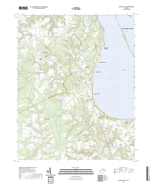
2022 Bacons Castle
Isle of Wight County, VA
2022 Chuckatuck
Isle of Wight County, VA
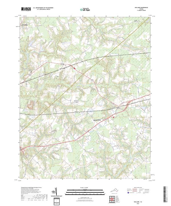
2022 Holland
Isle of Wight County, VA
2022 Mulberry Island
Isle of Wight County, VA
2022 Newport News South
Isle of Wight County, VA
2022 Raynor
Isle of Wight County, VA

2022 Zuni
Isle of Wight County, VA