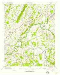
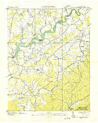
1939 Map of Chuckey
USGS Topo · Published 1956About this map
The Nolichucky River carves a winding path through the borderlands of Greene and Washington counties, its course dotted with significant river features like Cane Island and Ripley Island. This 1939 survey reflects a rural landscape defined by high ridges and a dense network of local institutions that anchored small farming communities. To the north, the Southern railroad and the Andrew Johnson Highway parallel each other, connecting the primary settlements of Chuckey and Limestone. The map is particularly rich for genealogical research, documenting numerous neighborhood landmarks such as the Davy Crockett School, Quaker Knobs Church, and Fox Cemetery. The southern reaches of the quadrangle rise toward Cherokee National Forest, where the terrain steepens along Chestnut Ridge. This specific survey shows the region before later infrastructure changes, preserving the locations of rural schools like Oakdale School and Forest Hill School that once served these Appalachian foothills.
Find a feature on this map
53 named features on this map. Tap any name to fly to it.
Don’t see what you’re looking for? This feature index may not catch every label — zoom into the map to look around manually.
Map Details
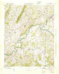
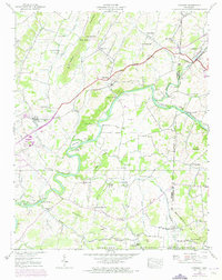
Editions of this 1939 Chuckey Map
3 editions found
Other maps of this area

1892 · Greeneville
USGS Topo · 1:125,000

1896 · Greeneville
USGS Topo · 1:125,000

1904 · Greeneville
USGS Topo · 1:125,000

1935 · Surgoinsville
USGS Topo · 1:48,000

1935 · Baileyton
USGS Topo · 1:24,000

1935 · Leesburg
USGS Topo · 1:24,000

1935 · Fall Branch
USGS Topo · 1:48,000
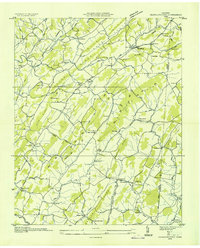
1935 · Jearoldstown
USGS Topo · 1:24,000

1936 · Greystone
USGS Topo · 1:24,000
1936 · Lake Davy Crockett
USGS Topo · 1:24,000