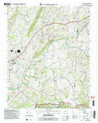
2003 Map of Chuckey
USGS Topo · Published 2004About this map
The Nolichucky River meanders through the heart of this landscape, shaping the valley between Quaker Knobs and the northern reaches of the Cherokee National Forest. This early 2000s view captures a rural environment where settlement is anchored by small communities like Chuckey and Rheatown, and transportation is defined by the Norfolk Southern railway and the Andrew Johnson Highway. The map reveals a high density of community centers, from the Davy Crockett Sch to numerous rural houses of worship such as Quaker Knobs Ch and Cedar Grove Ch.
Find a feature on this map
49 named features on this map. Tap any name to fly to it.
Don’t see what you’re looking for? This feature index may not catch every label — zoom into the map to look around manually.
Map Details
Editions of this 2003 Chuckey Map
This is the sole edition of this map. No revisions or reprints were ever made.
Other maps of this area

1892 · Greeneville
USGS Topo · 1:125,000

1896 · Greeneville
USGS Topo · 1:125,000

1904 · Greeneville
USGS Topo · 1:125,000
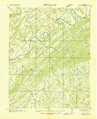
1935 · Surgoinsville
USGS Topo · 1:48,000
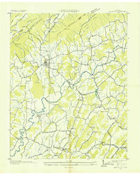
1935 · Baileyton
USGS Topo · 1:24,000
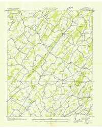
1935 · Leesburg
USGS Topo · 1:24,000
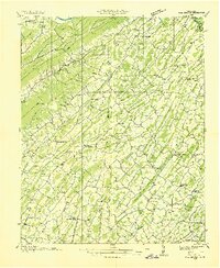
1935 · Fall Branch
USGS Topo · 1:48,000
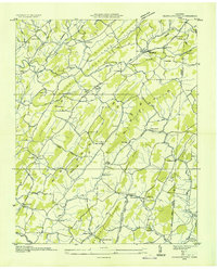
1935 · Jearoldstown
USGS Topo · 1:24,000
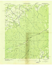
1936 · Greystone
USGS Topo · 1:24,000
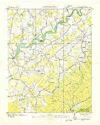
1936 · Lake Davy Crockett
USGS Topo · 1:24,000