
2012 Map of Chugwater
USGS Topo · Published 2012About this map
Chugwater sits at the southern end of this high-plains landscape, where the confluence of local waterways shaped early transit and irrigation patterns. The meandering path of Chugwater Cr and Richeau Cr dominates the drainage, supported by engineered works such as Home Ditch and Ramsey Ditch that sustain agriculture in this arid region. To the north, the small settlement of Slater marks a key point on the prairie, while the distinct geological landmark of Chimney Rock rises as a primary navigational reference. The map documents a classic Western transportation corridor, with the modern highway system following the natural contours of the valley, passing through the grid-laid streets of Chugwater including 4th St and 5th St. This survey captures the essential rural infrastructure of Platte County, from Latham Spring to the scattered ranching roads that crisscross the terrain.
Find a feature on this map
28 named features on this map. Tap any name to fly to it.
Don’t see what you’re looking for? This feature index may not catch every label — zoom into the map to look around manually.
Map Details
Editions of this 2012 Chugwater Map
This is the sole edition of this map. No revisions or reprints were ever made.
Other maps of this area

1953 · Double L Ranch
USGS Topo · 1:24,000

1953 · Chugwater
USGS Topo · 1:24,000

1953 · Ferguson Corner
USGS Topo · 1:24,000

1953 · Bordeaux
USGS Topo · 1:24,000

1954 · Cheyenne
USGS Topo · 1:250,000

1958 · Cheyenne
USGS Topo · 1:250,000

1962 · Bristol Ridge NE
USGS Topo · 1:24,000
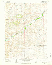
1962 · Whitcomb Hill
USGS Topo · 1:24,000
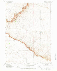
1963 · Dickinson Hill
USGS Topo · 1:24,000

1963 · C S Ranch
USGS Topo · 1:24,000