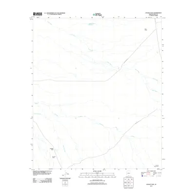
2011 Map of Chukut Kuk
USGS Topo · Published 2011About this map
Chukut Kuk sits within a wide desert landscape defined by seasonal water systems and broad alluvial basins in Pima County. The settlement is positioned near the Tecolote Valley and is bounded to the south by the Alvarez Mountains. The area's hydrology is dominated by ephemeral drainage patterns, including Vamori Wash and the extensive Big Wash, which carve through the Sells Valley. Human infrastructure is sparse, characterized by long rural routes such as Indian Rte 12 and Papago Farms Rd. The presence of the Pablos Charco Reservoir indicates the critical importance of water management in this arid environment, while the convergence of several major washes near Chukut Kuk Wash reveals how the natural topography has historically influenced the placement of local homesteads and travel corridors.
Find a feature on this map
12 named features on this map. Tap any name to fly to it.
Don’t see what you’re looking for? This feature index may not catch every label — zoom into the map to look around manually.
Map Details
Editions of this 2011 Chukut Kuk Map
This is the sole edition of this map. No revisions or reprints were ever made.
Other maps of this area

1941 · Vamori
USGS Topo · 1:62,500

1941 · Sells
USGS Topo · 1:62,500

1943 · Sells
USGS Topo · 1:62,500

1943 · Fresnal
USGS Topo · 1:125,000

1943 · Vamori
USGS Topo · 1:62,500

1954 · Sonoyta
USGS Topo · 1:250,000

1956 · Nogales
USGS Topo · 1:250,000

1958 · Nogales
USGS Topo · 1:250,000

1959 · Nogales
USGS Topo · 1:250,000

1963 · Gu Oidak
USGS Topo · 1:62,500