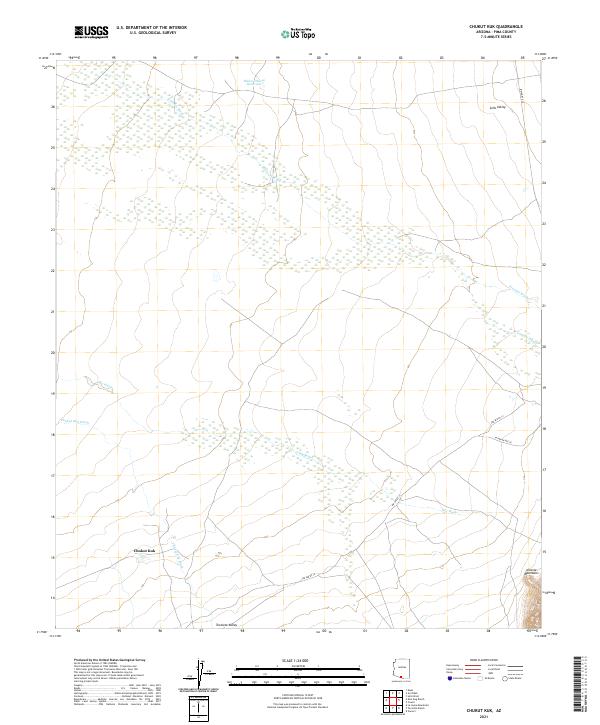
2021 Map of Chukut Kuk
USGS Topo · Published 2021About this map
Chukut Kuk serves as the focal settlement point in this arid desert landscape within the Tohono O'odham Nation. The terrain is defined by broad alluvial basins, notably Sells Valley in the northeast and Tecolote Valley in the south, which are channeled by seasonal drainage systems like Big Wash and the Chukut Kuk Wash. The abrupt rise of the Alvarez Mountains in the southeastern corner provides a stark topographic contrast to the surrounding flats.
Find a feature on this map
18 named features on this map. Tap any name to fly to it.
Don’t see what you’re looking for? This feature index may not catch every label — zoom into the map to look around manually.
Map Details
Editions of this 2021 Chukut Kuk Map
This is the sole edition of this map. No revisions or reprints were ever made.
Other maps of this area

1941 · Vamori
USGS Topo · 1:62,500

1941 · Sells
USGS Topo · 1:62,500

1943 · Sells
USGS Topo · 1:62,500

1943 · Fresnal
USGS Topo · 1:125,000

1943 · Vamori
USGS Topo · 1:62,500

1954 · Sonoyta
USGS Topo · 1:250,000

1956 · Nogales
USGS Topo · 1:250,000

1958 · Nogales
USGS Topo · 1:250,000

1959 · Nogales
USGS Topo · 1:250,000

1963 · Gu Oidak
USGS Topo · 1:62,500