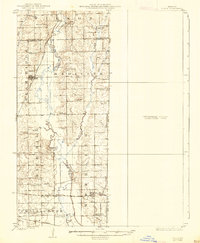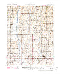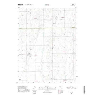
1983 Map of Chula
USGS Topo · Published 1985About this map
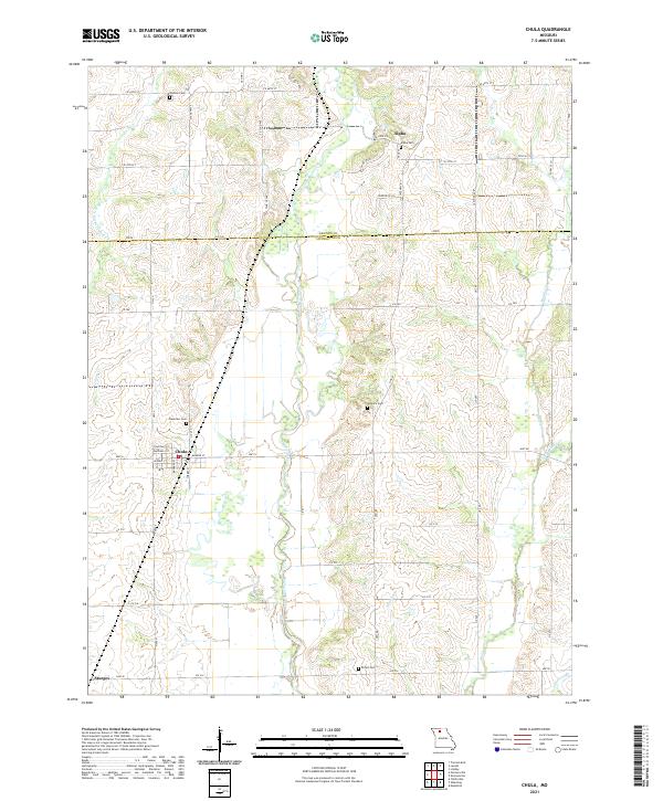
Chula serves as the central hub of this northern Missouri landscape, situated where the Chicago Milwaukee St Paul and Pacific railroad corridor cuts through the agricultural heart of Livingston County. The topography is defined by the winding course of Medicine Creek, which meanders north to south, flanked by the townships of Medicine and Cream Ridge. Smaller hamlets like Alpha and Sturges bookend the region, while the local genealogy is anchored by sites like the Cem northwest of the main town site.
Find a feature on this map
16 named features on this map. Tap any name to fly to it.
Don’t see what you’re looking for? This feature index may not catch every label — zoom into the map to look around manually.
Map Details
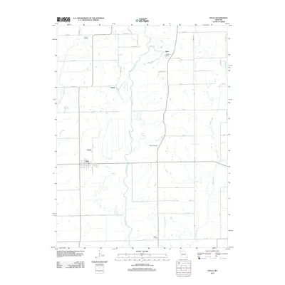
Editions of this 1983 Chula Map
This is the sole edition of this map. No revisions or reprints were ever made.
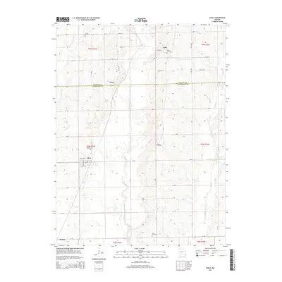
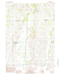
Historical Maps of Chula Through Time
7 maps found