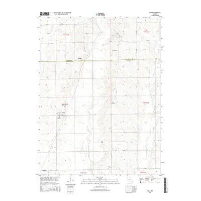
2015 Map of Chula
USGS Topo · Published 2015About this map
Medicine Creek meanders through the heart of this North Missouri landscape, marking a central drainage corridor that separates the small settlements of Niantic and Chula. This survey reveals a deeply rooted rural infrastructure where early family landmarks remain visible in the placement of Stucker Cemetery, Alpha Cemetery, and Wallace Cemetery. The northern boundary traces the line between Grundy and Livingston counties, a divide that historically influenced local commerce and postal routes. The community of Chula serves as a primary hub for the surrounding farmstead network, which is defined by a rigorous grid of secondary roads like Liv 216 and Mo-K. The varied hydrology, including the North Fork Crooked Creek and Grassy Creek, emphasizes the area's agricultural reliance on these natural watercourses before they reach larger tributaries to the south.
Find a feature on this map
48 named features on this map. Tap any name to fly to it.
Don’t see what you’re looking for? This feature index may not catch every label — zoom into the map to look around manually.
Map Details
Editions of this 2015 Chula Map
This is the sole edition of this map. No revisions or reprints were ever made.
Other maps of this area

1921 · Chillicothe
USGS Topo · 1:62,500

1923 · Chillicothe
USGS Topo · 1:62,500

1924 · Chula
USGS Topo · 1:62,500

1946 · Galt
USGS Topo · 1:62,500

1947 · Chula
USGS Topo · 1:62,500

1948 · Trenton
USGS Topo · 1:62,500

1949 · Galt
USGS Topo · 1:62,500

1953 · Moberly
USGS Topo · 1:250,000

1954 · Centerville
USGS Topo · 1:250,000

1954 · Moberly
USGS Topo · 1:250,000