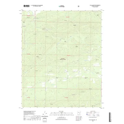
2020 Map of Chula Mountain
USGS Topo · Published 2020About this map
Chula sits as a central settlement within the heavily forested and ridged terrain of the Ouachita National Forest. The landscape is defined by significant topographic variation, from the heights of Bee Suck Mtn and Chula Mtn down to the creek valleys formed by the Irons Fork and Chula Ritter Cr. Local genealogy is anchored by the presence of Killian Cem and Chula Cem located near the eastern edges of the quadrangle.
Find a feature on this map
69 named features on this map. Tap any name to fly to it.
Don’t see what you’re looking for? This feature index may not catch every label — zoom into the map to look around manually.
Map Details
Editions of this 2020 Chula Mountain Map
This is the sole edition of this map. No revisions or reprints were ever made.
Other maps of this area

1890 · Mount Ida
USGS Topo · 1:125,000

1890 · Hot Springs
USGS Topo · 1:125,000

1894 · Hot Springs
USGS Topo · 1:125,000

1955 · Little Rock
USGS Topo · 1:250,000

1956 · Little Rock
USGS Topo · 1:250,000

1959 · Mount Ida
USGS Topo · 1:62,500

1960 · Little Rock
USGS Topo · 1:250,000

1960 · Gravelly
USGS Topo · 1:62,500

1962 · Fannie
USGS Topo · 1:24,000

1964 · Little Rock
USGS Topo · 1:250,000