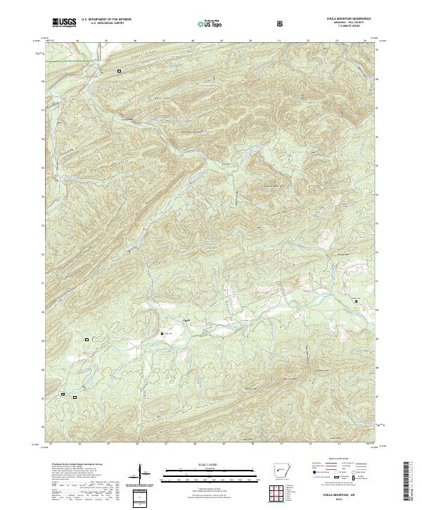
2024 Map of Chula Mountain
USGS Topo · Published 2024About this map
Chula sits at the heart of this landscape, positioned where several drainages meet within the Ouachita National Forest. The settlement is closely tied to the surrounding topography, with the Chula Cem and Killian Cem providing vital points of reference for genealogists and local historians tracking family roots in Yell County. The area is defined by a dense network of ridges and watercourses, including the notable Irons Fork and Mulberry Creek. The topography is particularly complex here, featuring landmarks like Chula Mountain, Saddle Back Mtn, and the distinctive Lackey Bluff. A legacy of timber and rural navigation is evident in the numerous forest roads, such as Co RD 71 and Bluff Rd, which wind between named heights like Bee Suck Mountain and Qualls Mountain. For outdoor historians, the presence of the Ouachita National Recreation Trl in the southeast corner marks the modern intersection of conservation and wilderness access.
Find a feature on this map
62 named features on this map. Tap any name to fly to it.
Don’t see what you’re looking for? This feature index may not catch every label — zoom into the map to look around manually.
Map Details
Editions of this 2024 Chula Mountain Map
This is the sole edition of this map. No revisions or reprints were ever made.
Other maps of this area

1890 · Mount Ida
USGS Topo · 1:125,000

1890 · Hot Springs
USGS Topo · 1:125,000

1894 · Hot Springs
USGS Topo · 1:125,000

1955 · Little Rock
USGS Topo · 1:250,000

1956 · Little Rock
USGS Topo · 1:250,000

1959 · Mount Ida
USGS Topo · 1:62,500

1960 · Little Rock
USGS Topo · 1:250,000

1960 · Gravelly
USGS Topo · 1:62,500

1962 · Fannie
USGS Topo · 1:24,000

1964 · Little Rock
USGS Topo · 1:250,000