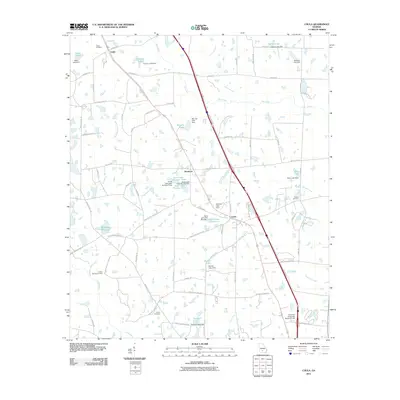
2011 Map of Chula
USGS Topo · Published 2011About this map
Agricultural lands and water management systems define this South Georgia landscape near Chula. Small settlements like Inaha and Sunsweet are linked by a network of rural roads such as Bethel Rd and Sumner Rd, while the local economy is anchored by the University of Georgia Research Labs in the southern portion of the quadrangle. The map reveal a complex hydrologic network of creeks and man-made reservoirs, including Whiddons Millpond, Derris Lake Number 1, and Jones Lake Number Two, many of which feature documented dams. Genealogists and local historians will find several well-documented burial sites across the terrain, including Inaha Cemetery, Fletcher Cemetery, and the Smith Cemetery near Heard Creek. The drainage patterns of Whiddons Mill Creek and Mill Creek illustrate the low-lying nature of the region as they feed into the Little River.
Find a feature on this map
88 named features on this map. Tap any name to fly to it.
Don’t see what you’re looking for? This feature index may not catch every label — zoom into the map to look around manually.
Map Details
Editions of this 2011 Chula Map
This is the sole edition of this map. No revisions or reprints were ever made.
Other maps of this area

1953 · Waycross
USGS Topo · 1:250,000

1958 · Waycross
USGS Topo · 1:250,000

1973 · Sumner
USGS Topo · 1:24,000

1973 · Ty Ty
USGS Topo · 1:24,000

1973 · Waterloo
USGS Topo · 1:24,000

1973 · Irwinville
USGS Topo · 1:24,000

1973 · Ashburn
USGS Topo · 1:24,000

1973 · Chula
USGS Topo · 1:24,000

1973 · Tifton East
USGS Topo · 1:24,000

1973 · Tifton West
USGS Topo · 1:24,000