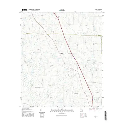
2017 Map of Chula
USGS Topo · Published 2017About this map
The Little River and its numerous tributaries, including Whiddons Mill Cr and Heard Cr, define the landscape of this region during the mid-2010s. The area is characterized by a significant number of managed water bodies and agricultural impoundments, such as Whiddons Millpond, Derris Lake Number 1, and Jones Lake Number Two. This hydrologic network supported local industry and agriculture long before modern infrastructure arrived, as evidenced by the mill-named features.
Find a feature on this map
100 named features on this map. Tap any name to fly to it.
Don’t see what you’re looking for? This feature index may not catch every label — zoom into the map to look around manually.
Map Details
Editions of this 2017 Chula Map
This is the sole edition of this map. No revisions or reprints were ever made.
Other maps of this area

1953 · Waycross
USGS Topo · 1:250,000

1958 · Waycross
USGS Topo · 1:250,000

1973 · Sumner
USGS Topo · 1:24,000

1973 · Ty Ty
USGS Topo · 1:24,000

1973 · Waterloo
USGS Topo · 1:24,000

1973 · Irwinville
USGS Topo · 1:24,000

1973 · Ashburn
USGS Topo · 1:24,000

1973 · Chula
USGS Topo · 1:24,000

1973 · Tifton East
USGS Topo · 1:24,000

1973 · Tifton West
USGS Topo · 1:24,000