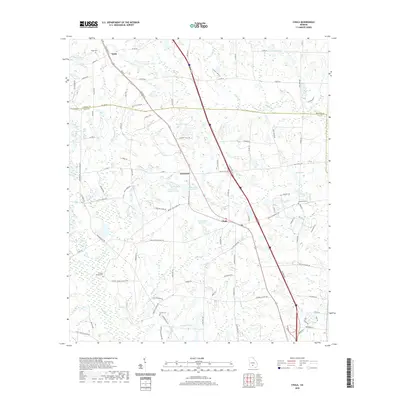
2020 Map of Chula
USGS Topo · Published 2020About this map
Chula and the nearby community of Sunsweet sit at the center of this 2020 Tift County landscape, where the agricultural legacy of the Georgia coastal plain is clearly visible through a network of rural roads and family-named landmarks. The terrain is defined by a complex drainage system, featuring Whiddons Mill Cr and Little River, which feed into numerous private reservoirs such as Jones Lake Number Three and Mar Jan Lake.
Find a feature on this map
104 named features on this map. Tap any name to fly to it.
Don’t see what you’re looking for? This feature index may not catch every label — zoom into the map to look around manually.
Map Details
Editions of this 2020 Chula Map
This is the sole edition of this map. No revisions or reprints were ever made.
Other maps of this area

1953 · Waycross
USGS Topo · 1:250,000

1958 · Waycross
USGS Topo · 1:250,000

1973 · Sumner
USGS Topo · 1:24,000

1973 · Ty Ty
USGS Topo · 1:24,000

1973 · Waterloo
USGS Topo · 1:24,000

1973 · Irwinville
USGS Topo · 1:24,000

1973 · Ashburn
USGS Topo · 1:24,000

1973 · Chula
USGS Topo · 1:24,000

1973 · Tifton East
USGS Topo · 1:24,000

1973 · Tifton West
USGS Topo · 1:24,000