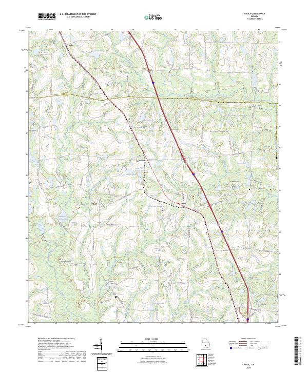
2024 Map of Chula
USGS Topo · Published 2024About this map
Agricultural lands and water systems of the Georgia coastal plain are documented here, spanning the transition between Turner and Tift Counties. This South Georgia landscape is defined by its numerous small lakes and millponds, most notably Whiddons Millpond and Thornhill Lake, which are fed by a complex drainage system including Whiddons Mill Creek and the Little River. The settlement pattern follows the established rail corridor, with the communities of Inaha, Sunsweet, and Chula serving as primary hubs for the surrounding farmsteads.
Find a feature on this map
109 named features on this map. Tap any name to fly to it.
Don’t see what you’re looking for? This feature index may not catch every label — zoom into the map to look around manually.
Map Details
Editions of this 2024 Chula Map
This is the sole edition of this map. No revisions or reprints were ever made.
Other maps of this area

1953 · Waycross
USGS Topo · 1:250,000

1958 · Waycross
USGS Topo · 1:250,000

1973 · Sumner
USGS Topo · 1:24,000

1973 · Ty Ty
USGS Topo · 1:24,000

1973 · Waterloo
USGS Topo · 1:24,000

1973 · Irwinville
USGS Topo · 1:24,000

1973 · Ashburn
USGS Topo · 1:24,000

1973 · Chula
USGS Topo · 1:24,000

1973 · Tifton East
USGS Topo · 1:24,000

1973 · Tifton West
USGS Topo · 1:24,000