
1973 Map of Chupadero Mountain
USGS Topo · Published 1977About this map
Chupadero Mountain and the Bald Hills define this high-altitude landscape within the Lincoln National Forest, as it was documented in the early 1970s. The map reveals a remote ranching and mining environment where water sources were critical for survival, marked by the presence of the Soda Windmill and South Windmills. These sparse water points, along with the Gnatkowski Ranch, illustrate the scattered nature of settlement in this arid New Mexico terrain.
Find a feature on this map
9 named features on this map. Tap any name to fly to it.
Don’t see what you’re looking for? This feature index may not catch every label — zoom into the map to look around manually.
Map Details
Editions of this 1973 Chupadero Mountain Map
This is the sole edition of this map. No revisions or reprints were ever made.
Other maps of this area

1954 · Fort Sumner
USGS Topo · 1:250,000

1955 · Roswell
USGS Topo · 1:250,000

1958 · Fort Sumner
USGS Topo · 1:250,000

1958 · Roswell
USGS Topo · 1:250,000

1962 · Roswell
USGS Topo · 1:250,000

1973 · Ancho
USGS Topo · 1:24,000
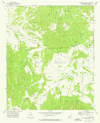
1973 · White Oaks North
USGS Topo · 1:24,000

1973 · Jicarilla Peak
USGS Topo · 1:24,000

1980 · Corona
USGS Topo · 1:100,000
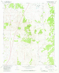
1981 · Tecolote Peak
USGS Topo · 1:24,000