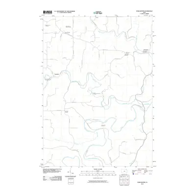
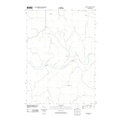
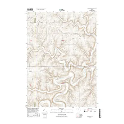
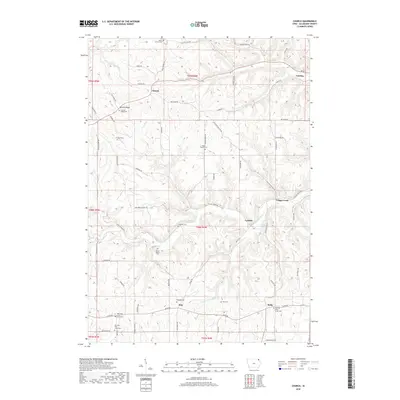
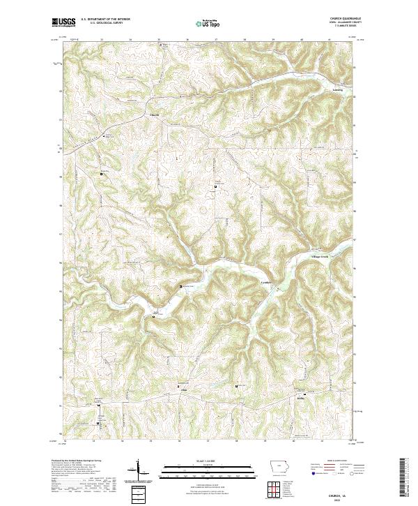
1968 Map of Church
USGS Topo · Published 1981About this map
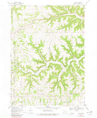
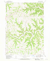
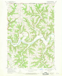
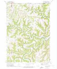
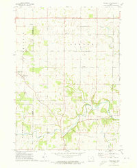
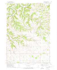
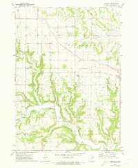
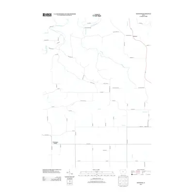
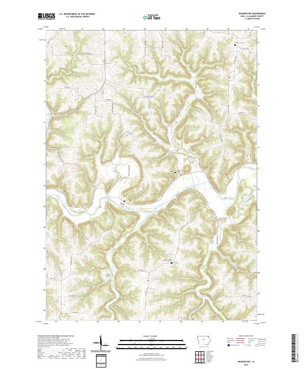
Lansing Ridge defines the high ground of this Allamakee County landscape, where the ridge-top drainage divides the waters of French Creek and Village Creek. The settlement pattern in the late 1960s reflects a deeply rooted rural community, particularly visible in the clustering of namesake houses of worship and cemeteries. Genealogists can find several distinct congregations, including Old East Paint Creek Ch, Old West Paint Creek Ch, West Paint Creek Ch, and Center Ch.
Find a feature on this map
31 named features on this map. Tap any name to fly to it.
Don’t see what you’re looking for? This feature index may not catch every label — zoom into the map to look around manually.
Map Details
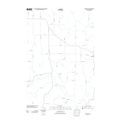
Editions of this 1968 Church Map
2 editions found
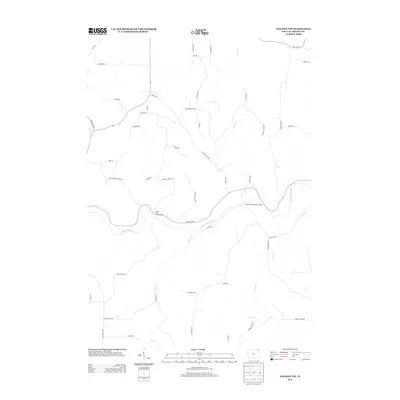
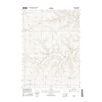
Historical Maps of Lansing Through Time
36 maps found
1968 Church
Allamakee County, IA
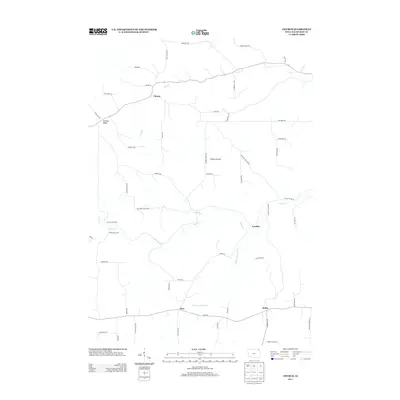
1968 Waukon NW
Allamakee County, IA
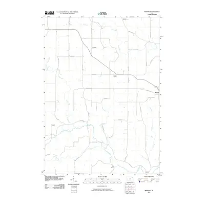
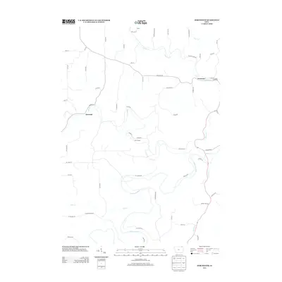
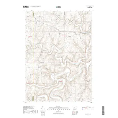
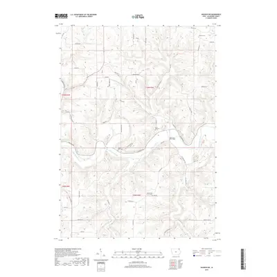
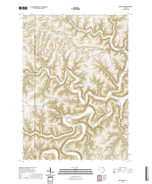
1971 Dorchester
Allamakee County, IA
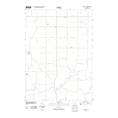
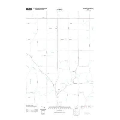
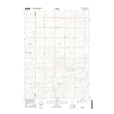
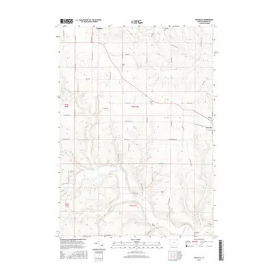
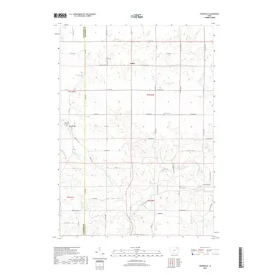
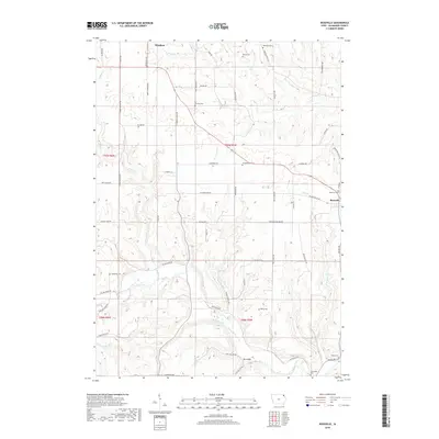
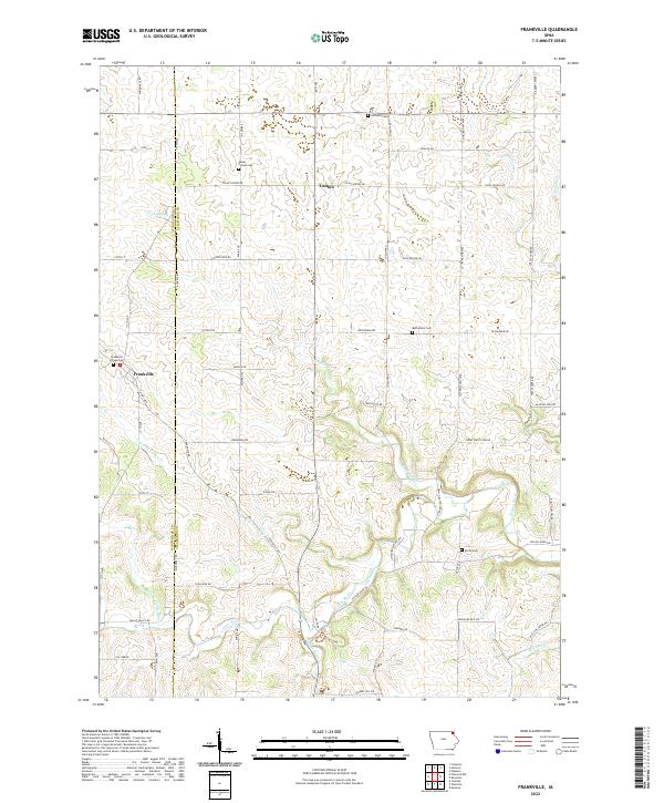
1971 Frankville
Allamakee County, IA
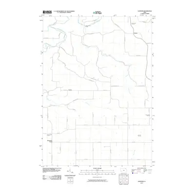
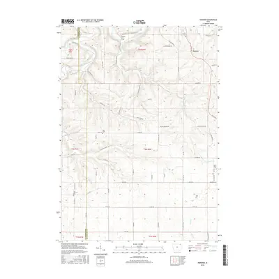
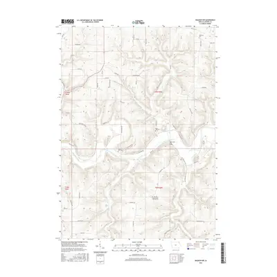
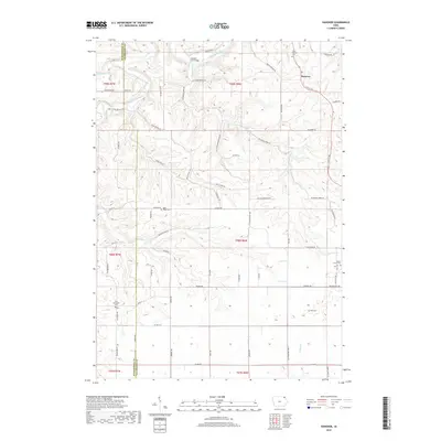
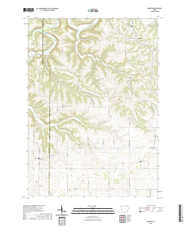
1971 Hanover
Allamakee County, IA
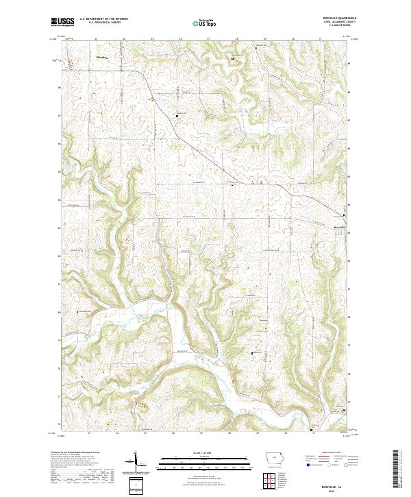
1971 Rossville
Allamakee County, IA
2010 Church
Allamakee County, IA
2010 Dorchester
Allamakee County, IA
2010 Frankville
Allamakee County, IA
2010 Hanover
Allamakee County, IA
2010 Rossville
Allamakee County, IA
2010 Waukon NW
Allamakee County, IA
2013 Church
Allamakee County, IA
2013 Dorchester
Allamakee County, IA
2013 Frankville
Allamakee County, IA
2013 Hanover
Allamakee County, IA
2013 Rossville
Allamakee County, IA
2013 Waukon NW
Allamakee County, IA
2015 Church
Allamakee County, IA
2015 Dorchester
Allamakee County, IA
2015 Frankville
Allamakee County, IA
2015 Hanover
Allamakee County, IA
2015 Rossville
Allamakee County, IA
2015 Waukon NW
Allamakee County, IA
2018 Church
Allamakee County, IA
2018 Dorchester
Allamakee County, IA
2018 Frankville
Allamakee County, IA
2018 Hanover
Allamakee County, IA
2018 Rossville
Allamakee County, IA
2018 Waukon NW
Allamakee County, IA
2022 Church
Allamakee County, IA
2022 Dorchester
Allamakee County, IA
2022 Frankville
Allamakee County, IA
2022 Hanover
Allamakee County, IA
2022 Rossville
Allamakee County, IA
2022 Waukon NW
Allamakee County, IA