
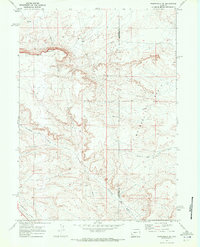
1969 Map of Church Butte NW
USGS Topo · Published 1972About this map
Hams Fork winds through the northeastern corner of this Lincoln County landscape, serving as a vital water source for the local agricultural infrastructure. The irrigation history of the region is etched into the terrain through features such as the Old Mexican Ditch and the Winslow Hallock and Capen Ditch, which redirect water from the river to support ranching operations. The Union Pacific corridor runs parallel to these waterworks, marking the path of one of the West's most significant transportation arteries. To the south and west, the terrain becomes more distinct with the high ground of Chrisman Bench and the drainage of Zieglers Wash. This 1969-field-checked survey illustrates a transitional landscape where early 20th-century water rights and transcontinental rail lines meet modern industrial markers like the subterranean Pipeline.
Find a feature on this map
8 named features on this map. Tap any name to fly to it.
Don’t see what you’re looking for? This feature index may not catch every label — zoom into the map to look around manually.
Map Details
Editions of this 1969 Church Butte NW Map
This is the sole edition of this map. No revisions or reprints were ever made.
Other maps of this area

1954 · Ogden
USGS Topo · 1:250,000

1958 · Ogden
USGS Topo · 1:250,000

1960 · Ogden
USGS Topo · 1:250,000
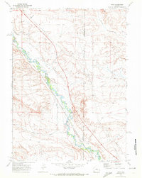
1969 · Moxa
USGS Topo · 1:24,000
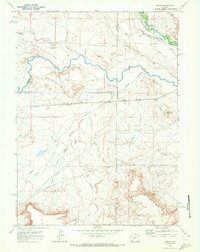
1969 · Verne
USGS Topo · 1:24,000

1969 · Roberson Creek
USGS Topo · 1:24,000

1969 · Hampton
USGS Topo · 1:24,000
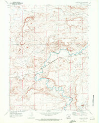
1969 · Church Butte
USGS Topo · 1:24,000
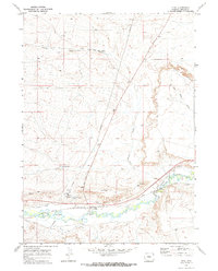
1969 · Opal
USGS Topo · 1:24,000
1969 · Fontenelle SE
USGS Topo · 1:24,000