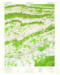
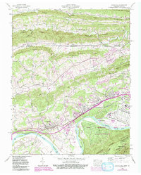
1959 Map of Church Hill
USGS Topo · Published 1960About this map
Holston Ordnance Works (Military Reservation) dominates the southeastern bend of the Holston River, marking a significant industrial and military footprint just before the 1960s. This industrial complex is linked by an Inter-Plant Railroad and sits across from the winding waters of Solitude Bend and Sheetee Bend. The landscape is defined by the parallel ridges of Clinch Mountain and Brushy Ridge, which channel development into valleys like Carter Valley.
Find a feature on this map
109 named features on this map. Tap any name to fly to it.
Don’t see what you’re looking for? This feature index may not catch every label — zoom into the map to look around manually.
Map Details
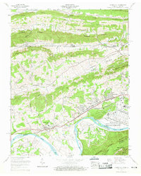
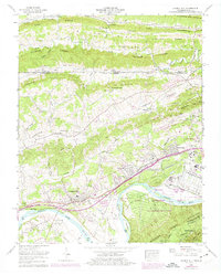
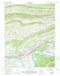
Editions of this 1959 Church Hill Map
5 editions found
Other maps of this area

1892 · Greeneville
USGS Topo · 1:125,000

1894 · Estillville
USGS Topo · 1:125,000

1896 · Greeneville
USGS Topo · 1:125,000

1904 · Greeneville
USGS Topo · 1:125,000

1935 · Surgoinsville
USGS Topo · 1:48,000

1935 · Lovelace
USGS Topo · 1:24,000

1935 · Sullivan Gardens
USGS Topo · 1:24,000

1935 · Moggasin
USGS Topo · 1:48,000

1935 · Kingsport
USGS Topo · 1:24,000

1935 · Clinchport
USGS Topo · 1:24,000