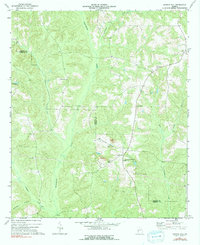
1973 Map of Church Hill
USGS Topo · Published 1991About this map
The boundary between Marion and Webster Counties defines the central axis of this rural Georgia landscape, which was primarily shaped by its intricate drainage networks in the early 1970s. The headwaters of Kinchafoonee Creek and Lanahasee Creek wind through the region, creating a rugged topography that limited large-scale development but supported a series of localized industrial and spiritual centers. The settlement at Church Hill serves as a focal point, surrounded by evidence of extractive industry at the local Strip Mine sites.
Find a feature on this map
19 named features on this map. Tap any name to fly to it.
Don’t see what you’re looking for? This feature index may not catch every label — zoom into the map to look around manually.
Map Details
Editions of this 1973 Church Hill Map
2 editions found
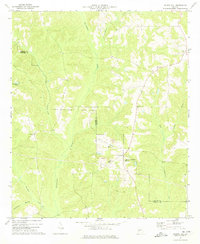
Other maps of this area

1949 · Glen Alta
USGS Topo · 1:24,000

1950 · Buena Vista
USGS Topo · 1:24,000

1950 · Buena Vista
USGS Topo · 1:62,500

1955 · Buena Vista
USGS Topo · 1:24,000
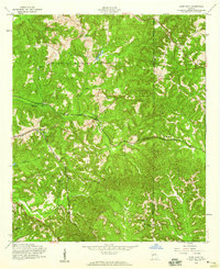
1955 · Glen Alta
USGS Topo · 1:24,000
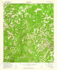
1955 · Buena Vista
USGS Topo · 1:62,500

1955 · Phenix City
USGS Topo · 1:250,000

1957 · Phenix City
USGS Topo · 1:250,000

1958 · Phenix City
USGS Topo · 1:250,000

1971 · Tazewell South
USGS Topo · 1:24,000