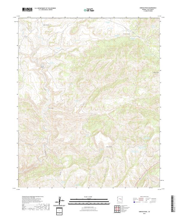
2021 Map of Cibecue Peak
USGS Topo · Published 2021About this map
Cibecue Canyon and the surrounding high desert of Gila County define this landscape, where water management is the primary marker of human activity. The terrain is deeply incised by drainages like Cibecue Cr and Flying V Canyon, with the survey documenting a dense network of livestock or wildlife tanks and springs. Named water sources such as Wool Cutter Spring, Jackrabbit Tank, and Turkey Roost Tank are vital landmarks across the high plateaus. The presence of Cemetery Rd near the southwestern corner suggests proximity to local community history, while Cibecue Peak stands as a prominent topographical anchor in the northeast. This 2021 update by the U.S. Geological Survey details the remote road network including Cibecue Rd and Bia RD 12, which traverse the complex system of ridges and canyons.
Find a feature on this map
38 named features on this map. Tap any name to fly to it.
Don’t see what you’re looking for? This feature index may not catch every label — zoom into the map to look around manually.
Map Details
Editions of this 2021 Cibecue Peak Map
This is the sole edition of this map. No revisions or reprints were ever made.
Other maps of this area

1886 · Holbrook
USGS Topo · 1:250,000

1893 · Holbrook
USGS Topo · 1:250,000

1922 · Chrysotile
USGS Topo · 1:125,000

1946 · Blue House Mtn
USGS Topo · 1:62,500

1951 · Blue House Mtn
USGS Topo · 1:62,500

1954 · Holbrook
USGS Topo · 1:250,000

1954 · Mesa
USGS Topo · 1:250,000

1957 · Mesa
USGS Topo · 1:250,000

1957 · Holbrook
USGS Topo · 1:250,000

1958 · Mesa
USGS Topo · 1:250,000