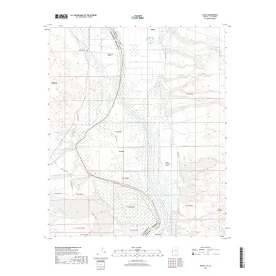
2018 Map of Cibola
USGS Topo · Published 2018About this map
The Colorado River defines the border between Imperial County and La Paz County, flowing through a broad floodplain that supports the agricultural lands of the Palo Verde Valley and Cibola Valley. This desert landscape is characterized by its complex drainage systems, featuring the Outfall Drain and C-28 Canal to the west, while the eastern Arizona side is marked by dry washes like Crazy Woman Wash and Hart Mine Wash descending from the Trigo Mountains. The small settlement of Cibola sits near the northern edge of the map, adjacent to the Cornfield Nature Trail. Notable geographic features include the sharp turn of the river at Long Bend and the presence of Three Finger Lake, illustrating the shifting course of the river through the Great Colorado Valley over time. The map provides a detailed view of local access roads such as Mitchells Camp Rd and Hart Mine Rd that navigate this arid riverine corridor.
Find a feature on this map
35 named features on this map. Tap any name to fly to it.
Don’t see what you’re looking for? This feature index may not catch every label — zoom into the map to look around manually.
Map Details
Editions of this 2018 Cibola Map
This is the sole edition of this map. No revisions or reprints were ever made.
Other maps of this area

1942 · Blythe
USGS Topo · 1:250,000

1945 · Cibola
USGS Topo · 1:62,500

1945 · Picacho
USGS Topo · 1:62,500

1951 · Picacho
USGS Topo · 1:62,500

1951 · Cibola
USGS Topo · 1:62,500

1952 · Mule Wash
USGS Topo · 1:24,000

1952 · Palo Verde
USGS Topo · 1:24,000

1953 · Palo Verde Mountains
USGS Topo · 1:62,500

1953 · Quartz Peak
USGS Topo · 1:62,500

1954 · Salton Sea
USGS Topo · 1:250,000