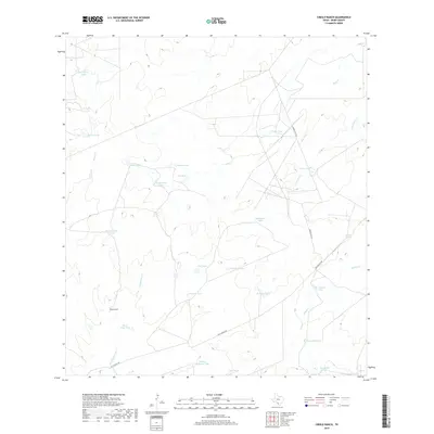
2019 Map of Cibolo Ranch
USGS Topo · Published 2019About this map
Cibolo Ranch serves as the primary landmark in this ranching landscape of South Texas, where water management defines the human footprint on the land. The terrain is characterized by an extensive network of man-made water features, including Las Tijeras Tank, Kuykendall Tank, and De Cavasos Tank, which support cattle operations in an arid environment. These artificial basins are strategically situated alongside ephemeral drainages such as Chacon Cr and San Ygnacio Cr. Transportation across this section of Webb County is facilitated by traditional routes like San Ignacio Rd and Ranch Rd 7132. The map also identifies natural water sources like El Pato Spring, illustrating the critical importance of every hydration point for the local livestock industry.
Find a feature on this map
29 named features on this map. Tap any name to fly to it.
Don’t see what you’re looking for? This feature index may not catch every label — zoom into the map to look around manually.
Map Details
Editions of this 2019 Cibolo Ranch Map
This is the sole edition of this map. No revisions or reprints were ever made.
Other maps of this area

1937 · Aguilete Creek
USGS Topo · 1:62,500

1956 · Becerra
USGS Topo · 1:62,500

1956 · Laredo East
USGS Topo · 1:62,500

1956 · Webb
USGS Topo · 1:62,500

1956 · Laredo
USGS Topo · 1:250,000

1965 · Orvil
USGS Topo · 1:24,000

1965 · Cibolo Ranch
USGS Topo · 1:24,000

1965 · Tios Creek
USGS Topo · 1:24,000

1965 · Laredo East
USGS Topo · 1:24,000
1980 · Callaghan Ranch SE
USGS Topo · 1:24,000