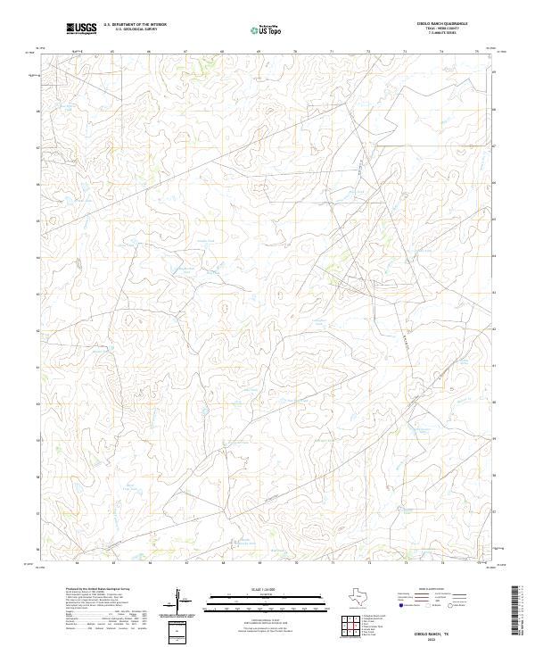
2022 Map of Cibolo Ranch
USGS Topo · Published 2022About this map
Intermittent watercourses and numerous cattle tanks characterize this section of Webb County, defining a landscape shaped by ranching in the brush country of South Texas. The hydrology is dominated by ephemeral drainages such as Chacon Cr, Mule Cr, and San Ygnacio Cr, which feed into an extensive system of man-made reservoirs. These tanks, including Kuykendall Tank, Sandia Tank, and Callaghan Tank, serve as vital landmarks and water sources for local operations.
Find a feature on this map
28 named features on this map. Tap any name to fly to it.
Don’t see what you’re looking for? This feature index may not catch every label — zoom into the map to look around manually.
Map Details
Editions of this 2022 Cibolo Ranch Map
This is the sole edition of this map. No revisions or reprints were ever made.
Other maps of this area

1937 · Aguilete Creek
USGS Topo · 1:62,500

1956 · Becerra
USGS Topo · 1:62,500

1956 · Laredo East
USGS Topo · 1:62,500

1956 · Webb
USGS Topo · 1:62,500

1956 · Laredo
USGS Topo · 1:250,000

1965 · Orvil
USGS Topo · 1:24,000

1965 · Cibolo Ranch
USGS Topo · 1:24,000

1965 · Tios Creek
USGS Topo · 1:24,000

1965 · Laredo East
USGS Topo · 1:24,000
1980 · Callaghan Ranch SE
USGS Topo · 1:24,000