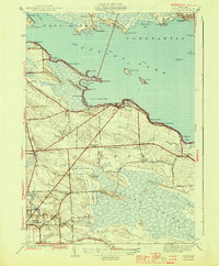
1944 Map of Cicero
USGS Topo · Published 1944About this map
Oneida Lake dominates the northern landscape of this 1940s survey, showing a coastline defined by intricate bays and recreational settlements. The Barge Canal cuts a straight line through the water, while the southern half of the quadrangle reveals the extensive Cicero Swamp, dotted with islands like Geersbeck Island and Hall Island. This era of Onondaga County history is marked by a dense network of local schoolhouses, including the Stone Arabia Sch and Cobblestone Sch, reflecting a distributed rural population before post-war consolidation. The road network, including Route 31 and the strictly rectilinear Street Road, connects agricultural hamlets like Cicero Center and Brown Corner to the growing community of North Syracuse. Inland from the lake, family-named ridges like McKinley Ridge and Beech Ridge rise above the wetlands, housing established homesteads and the Cicero Center Cem.
Find a feature on this map
64 named features on this map. Tap any name to fly to it.
Don’t see what you’re looking for? This feature index may not catch every label — zoom into the map to look around manually.
Map Details
Editions of this 1944 Cicero Map
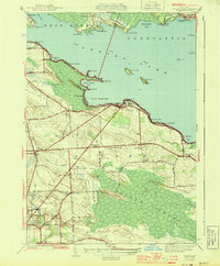
2 editions found
Other maps of this area

1895 · Chittenango
USGS Topo · 1:62,500

1895 · Syracuse
USGS Topo · 1:62,500

1898 · Syracuse
USGS Topo · 1:62,500

1898 · Chittenango
USGS Topo · 1:62,500

1902 · Chittenango
USGS Topo · 1:62,500

1905 · Mexico
USGS Topo · 1:62,500

1906 · Kasoag
USGS Topo · 1:62,500

1938 · Syracuse East
USGS Topo · 1:24,000

1939 · Syracuse West
USGS Topo · 1:24,000

1940 · Brewerton
USGS Topo · 1:24,000