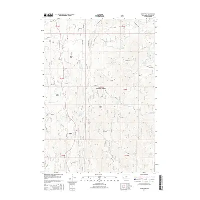
2015 Map of Cicero Peak
USGS Topo · Published 2015About this map
Sanator and Nihart anchor this high-altitude landscape within the Black Hills National Forest, where a network of forest roads and springs defines the human imprint on the terrain. The presence of settlements like Echo Valley and Beaver Valley suggests small mountain enclaves established amidst a complex topography of peaks and draws. To the north, the Custer County Airport sits near the headwaters of French Cr, providing a modern gateway to this part of Custer County.
Find a feature on this map
69 named features on this map. Tap any name to fly to it.
Don’t see what you’re looking for? This feature index may not catch every label — zoom into the map to look around manually.
Map Details
Editions of this 2015 Cicero Peak Map
This is the sole edition of this map. No revisions or reprints were ever made.
Other maps of this area

1894 · Hermosa
USGS Topo · 1:125,000

1896 · Harney Peak
USGS Topo · 1:125,000

1901 · Hermosa
USGS Topo · 1:125,000

1901 · Harney Peak
USGS Topo · 1:125,000

1954 · Iron Mountain
USGS Topo · 1:24,000

1954 · Fourmile
USGS Topo · 1:24,000

1954 · Custer
USGS Topo · 1:24,000

1954 · Berne
USGS Topo · 1:24,000

1954 · Mount Rushmore
USGS Topo · 1:62,500

1955 · Mt. Coolidge
USGS Topo · 1:24,000