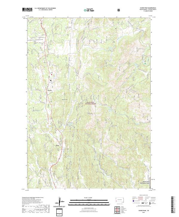
2021 Map of Cicero Peak
USGS Topo · Published 2021About this map
Sanator and Nihart anchor this landscape within the Black Hills National Forest, where steep ridges and deep draws define the topography south of Custer. The George S. Mickelson Trl follows a north-south corridor through the center of the sheet, tracing the historic route once used by the Burlington and Missouri River Railroad. To the east, the terrain rises toward Cicero Peak, while the southwestern corner transitions into the northern reaches of Wind Cave National Park. The map reveals a complex network of forest roads and springs, such as Nihart Spring and Sutherland Spring, which historically supported ranching and early settlement. The presence of the Custer County Airport and recreational sites like Lake of the Pines shows how the local economy and land use have evolved to balance forestry, aviation, and preservation.
Find a feature on this map
90 named features on this map. Tap any name to fly to it.
Don’t see what you’re looking for? This feature index may not catch every label — zoom into the map to look around manually.
Map Details
Editions of this 2021 Cicero Peak Map
This is the sole edition of this map. No revisions or reprints were ever made.
Other maps of this area

1894 · Hermosa
USGS Topo · 1:125,000

1896 · Harney Peak
USGS Topo · 1:125,000

1901 · Hermosa
USGS Topo · 1:125,000

1901 · Harney Peak
USGS Topo · 1:125,000

1954 · Iron Mountain
USGS Topo · 1:24,000

1954 · Fourmile
USGS Topo · 1:24,000

1954 · Custer
USGS Topo · 1:24,000

1954 · Berne
USGS Topo · 1:24,000

1954 · Mount Rushmore
USGS Topo · 1:62,500

1955 · Mt. Coolidge
USGS Topo · 1:24,000