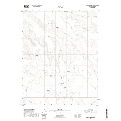
2020 Map of Cigarette Spring Cave
USGS Topo · Published 2020About this map
Valley of the Gods defines the southern portion of this landscape, where distinctive geological monoliths rise from the desert floor. This 2020 survey captures the complex drainage systems of Lime Cr and its western fork, which carve deep into the plateau of Cedar Mesa. The topography is marked by named spires and formations including Rooster Butte, Setting Hen Butte, and Battleship Rock, which serve as critical navigation points in an area otherwise dominated by expansive ridges like Lime Ridge. Sparse infrastructure is limited to primitive routes such as Valley of the Gods Rd and Cigarette Springs Rd, reflecting the remote and preserved nature of this San Juan County terrain. To the northeast, the dramatic incision of Road Canyon highlights the erosional forces that have shaped the high desert environment over millennia.
Find a feature on this map
16 named features on this map. Tap any name to fly to it.
Don’t see what you’re looking for? This feature index may not catch every label — zoom into the map to look around manually.
Map Details
Editions of this 2020 Cigarette Spring Cave Map
This is the sole edition of this map. No revisions or reprints were ever made.
Other maps of this area

1886 · Abajo
USGS Topo · 1:250,000

1892 · Abajo
USGS Topo · 1:250,000

1893 · Abajo
USGS Topo · 1:250,000

1956 · Cortez
USGS Topo · 1:250,000

1958 · Cortez
USGS Topo · 1:250,000

1959 · Cortez
USGS Topo · 1:250,000

1962 · Cortez
USGS Topo · 1:250,000
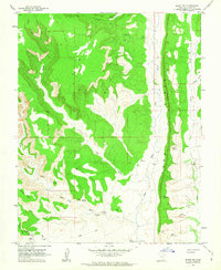
1962 · Bluff NW
USGS Topo · 1:24,000

1962 · Bluff
USGS Topo · 1:62,500
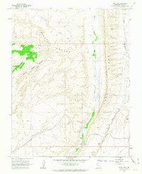
1962 · Bluff SW
USGS Topo · 1:24,000