
1956 Map of Cimarron
USGS Topo · Published 1957About this map
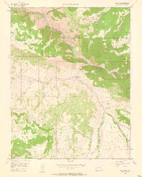
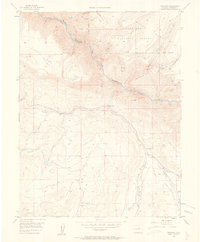
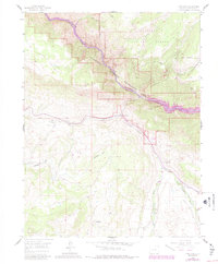
The Gunnison River carves a dramatic course through the Black Canyon in this mid-century survey of Montrose County. The landscape is defined by its deep drainage networks and the stark elevation changes between the canyon floor and high features like Poverty Mesa and Black Mesa. In the valley, the settlement of Cimarron serves as a central hub for the surrounding ranching and forest lands, with infrastructure such as the Cimarron Ditch and Collier Ditch illustrating the complex water management required for high-altitude agriculture.
Find a feature on this map
28 named features on this map. Tap any name to fly to it.
Don’t see what you’re looking for? This feature index may not catch every label — zoom into the map to look around manually.
Map Details
Editions of this 1956 Cimarron Map
4 editions found
Other maps of this area

1908 · Uncompahgre
USGS Topo · 1:125,000

1909 · Montrose
USGS Topo · 1:125,000

1911 · Uncompahgre
USGS Topo · 1:125,000

1911 · Montrose
USGS Topo · 1:125,000

1956 · Curecanti Needle
USGS Topo · 1:24,000

1956 · Montrose
USGS Topo · 1:250,000

1957 · Cathedral Peak
USGS Topo · 1:24,000

1957 · X Lazy F Ranch
USGS Topo · 1:24,000

1957 · Cerro Summit
USGS Topo · 1:24,000

1957 · Grizzly Ridge
USGS Topo · 1:24,000