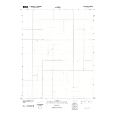
2009 Map of Cimarron NW
USGS Topo · Published 2009About this map
Buckner Creek winds through the eastern portion of this Gray County landscape, providing a rare natural hydrological feature in an otherwise strictly organized agricultural grid. The map reveals the precise section-line road system characteristic of the High Plains, where routes like Co Rd 11 and Co Rd 13 form the primary infrastructure for local travel and transport. While the terrain is dominated by vast tracts of farmland, a handful of isolated structures and homesteads are scattered throughout, particularly along east-west arteries such as E RD and D RD. This 2009 survey by the U.S. Geological Survey documents the rural character of the region as it appeared in the early 21st century, showing how the land remained tied to a rigid cartographic layout even as modern imagery and data became the standard for mapping.
Find a feature on this map
14 named features on this map. Tap any name to fly to it.
Don’t see what you’re looking for? This feature index may not catch every label — zoom into the map to look around manually.
Map Details
Editions of this 2009 Cimarron NW Map
This is the sole edition of this map. No revisions or reprints were ever made.
Other maps of this area

1892 · Dodge
USGS Topo · 1:125,000

1896 · Garden
USGS Topo · 1:125,000

1955 · Dodge City
USGS Topo · 1:250,000

1955 · Scott City
USGS Topo · 1:250,000

1958 · Dodge City
USGS Topo · 1:250,000

1958 · Scott City
USGS Topo · 1:250,000

1959 · Dodge City
USGS Topo · 1:250,000

1968 · Cimarron NW
USGS Topo · 1:24,000

1968 · Ingalls
USGS Topo · 1:24,000

1968 · Cimarron
USGS Topo · 1:24,000