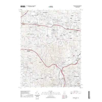
2019 Map of Cincinnati West
USGS Topo · Published 2019About this map
Spring Grove Cem and Arboretum and the historical Wesleyan Cem anchor the dense urban and suburban landscape of western Cincinnati. This survey details the complex residential development patterns north and west of the city core, from the established streets of College Hill and North College Hill to specialized institutions like the Cincinnati College of Mortuary Science. The landscape is a mix of late-twentieth-century subdivisions and long-standing religious and educational centers, including the Hebrew Union College Jewish Institute of Religion and the University of Cincinnati campus.
Find a feature on this map
108 named features on this map. Tap any name to fly to it.
Don’t see what you’re looking for? This feature index may not catch every label — zoom into the map to look around manually.
Map Details
Editions of this 2019 Cincinnati West Map
This is the sole edition of this map. No revisions or reprints were ever made.
Other maps of this area

1898 · East Cincinnati
USGS Topo · 1:62,500

1904 · Mason
USGS Topo · 1:62,500

1906 · Mason
USGS Topo · 1:62,500

1914 · East Cincinnati
USGS Topo · 1:62,500

1914 · West Cincinnati
USGS Topo · 1:62,500

1915 · Hamilton
USGS Topo · 1:62,500

1917 · Hamilton
USGS Topo · 1:62,500

1950 · Covington
USGS Topo · 1:24,000

1951 · Burlington
USGS Topo · 1:24,000

1952 · Newport
USGS Topo · 1:24,000