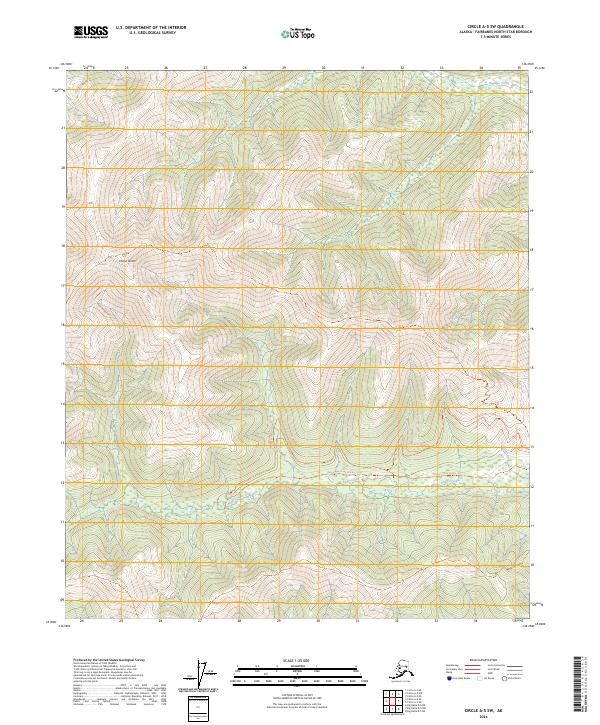
2024 Map of Circle A-5 SW
USGS Topo · Published 2024About this map
Chena Dome anchors the high country of this interior Alaskan landscape, which is defined by steep ridges and a complex network of seasonal and perennial watercourses. The drainage patterns of Olympia Creek and Angel Creek dictate the local movement, with the latter providing a natural corridor for seasonal transit. The map documents specific routes for varying conditions, including the Angel Creek Hillside Trl and the Angel Creek Winter Trl, the latter of which suggests the importance of frozen-ground navigation in this subarctic environment. This U.S. Geological Survey representation emphasizes the physical geography and the limited, purposeful human infrastructure required to traverse the Fairbanks North Star Borough's backcountry.
Find a feature on this map
11 named features on this map. Tap any name to fly to it.
Don’t see what you’re looking for? This feature index may not catch every label — zoom into the map to look around manually.
Map Details
Editions of this 2024 Circle A-5 SW Map
This is the sole edition of this map. No revisions or reprints were ever made.
Other maps of this area

1950 · Big Delta
USGS Topo · 1:250,000

1950 · Big Delta D-6
USGS Topo · 1:63,360

1951 · Big Delta
USGS Topo · 1:250,000

1951 · Circle
USGS Topo · 1:250,000

1951 · Circle A-5
USGS Topo · 1:63,360

1952 · Big Delta D-6
USGS Topo · 1:63,360

1952 · Circle A-5
USGS Topo · 1:63,360

1954 · Circle A-6
USGS Topo · 1:63,360

1954 · Circle A-5
USGS Topo · 1:63,360

1955 · Circle
USGS Topo · 1:250,000