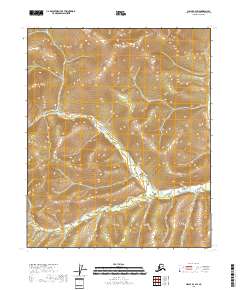
2018 Map of Circle B-4 SW
USGS Topo · Published 2018About this map
Harrington Fork Birch Cr snakes through the high-altitude terrain of the Yukon-Koyukuk region, defining the drainage patterns of this Alaskan interior. This 2018 survey emphasizes the hydraulic network of the uplands, where Crooked Cr and its tributary Rosebud Cr meet. The map reveals a landscape governed by township lines rather than human settlements, illustrating the immense scale of the public land system in the north. The elevation contours depict a complex series of ridges and valleys that feed these critical waterways, providing a precise record of the topography before any modern infrastructure altered the natural flow of these creeks.
Find a feature on this map
9 named features on this map. Tap any name to fly to it.
Don’t see what you’re looking for? This feature index may not catch every label — zoom into the map to look around manually.
Map Details
Editions of this 2018 Circle B-4 SW Map
This is the sole edition of this map. No revisions or reprints were ever made.
Other maps of this area

1951 · Circle
USGS Topo · 1:250,000

1951 · Circle A-5
USGS Topo · 1:63,360

1952 · Circle A-4
USGS Topo · 1:63,360

1952 · Circle B-4
USGS Topo · 1:63,360

1952 · Circle A-5
USGS Topo · 1:63,360

1954 · Circle A-5
USGS Topo · 1:63,360

1954 · Circle B-5
USGS Topo · 1:63,360

1955 · Circle
USGS Topo · 1:250,000

1964 · Circle
USGS Topo · 1:250,000
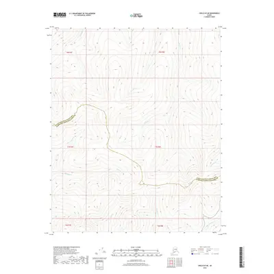
2018 · Circle B-5 NE
USGS Topo · 1:25,000